As I reported in my previous post, I took a scooter from the air and space Museum to the Lincoln Memorial, a distance of about a mile and a half. It was just too hot to make the walk. When I arrived, I parked the scooter near some rental bicycles and ended my rental. The total cost was about $4 — cheaper and faster than a Lyft and a lot more fun. I’d definitely do it again.
I’ve only been to Washington DC twice before this trip – at least that’s all I can remember – once as a kid with my family and once about 25 years ago with my future wasband. I know that I visited the Lincoln Memorial on at least one of those trips. Still, I really wanted to go back and see it again.
It was, as you might imagine, relatively crowded with a lot of people sitting in the shade on the steps leading up to the famous statue. I went inside for a look and a photo.

I managed to crop out the heads of the other people standing around the statue.
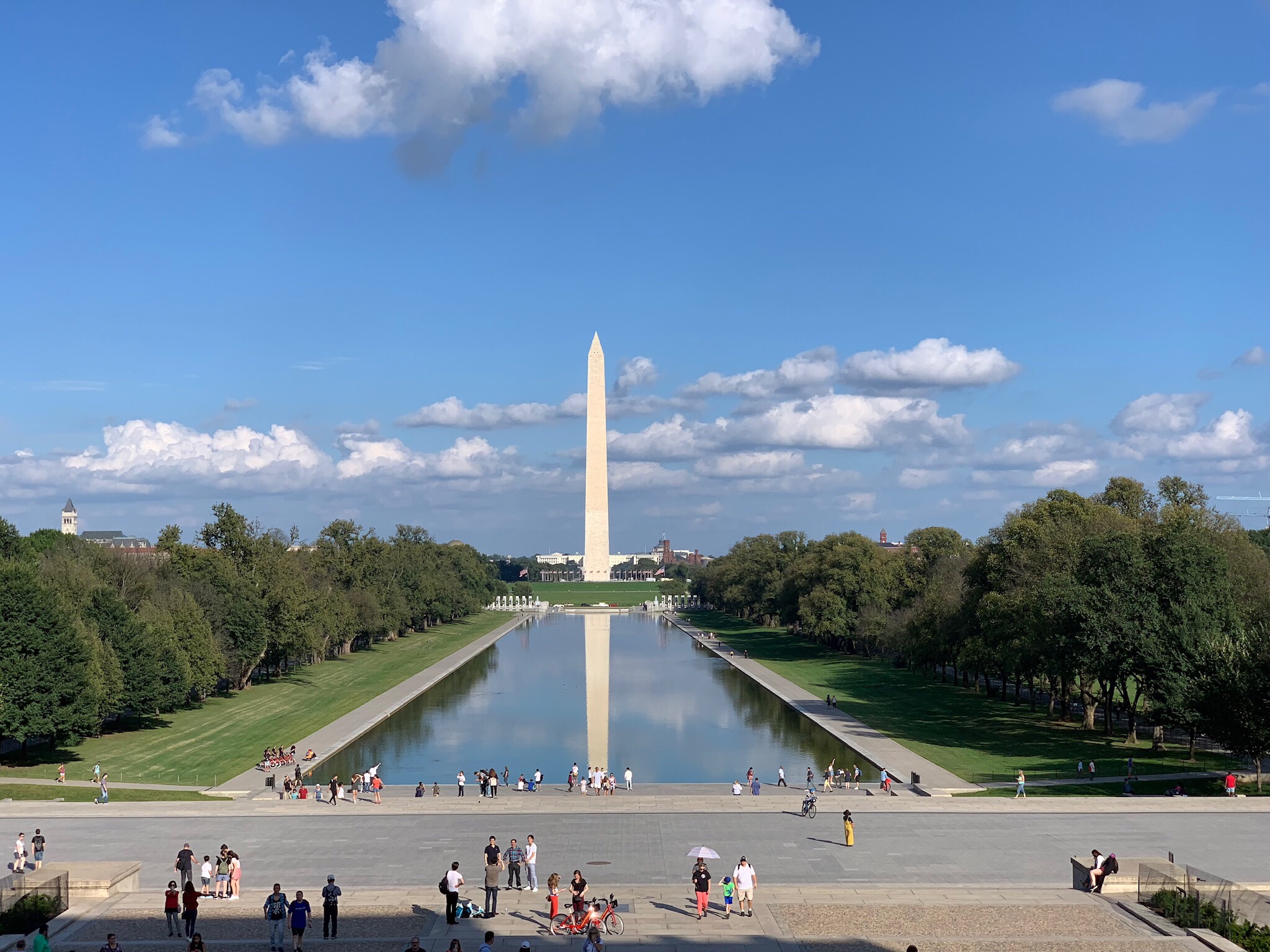
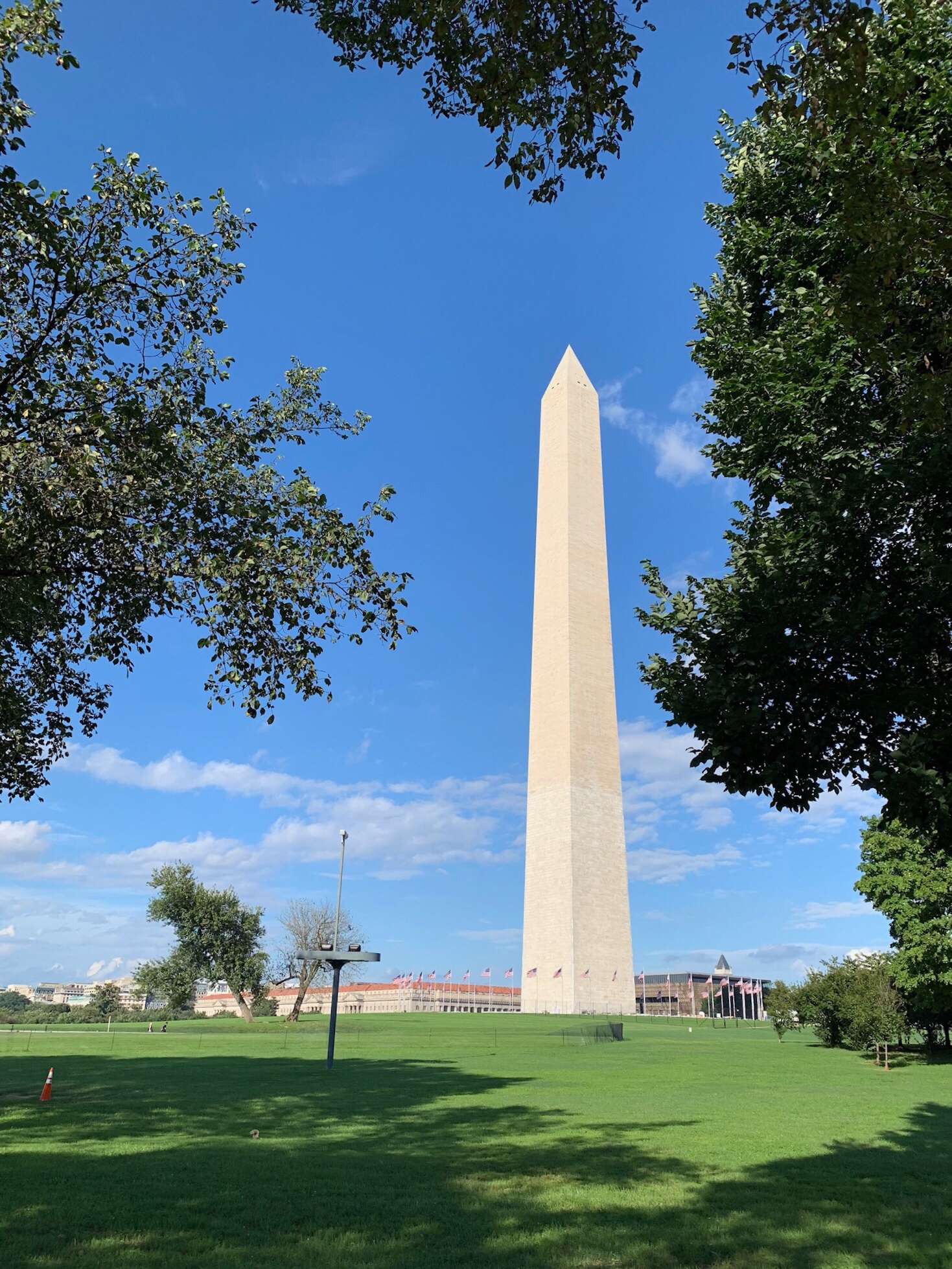
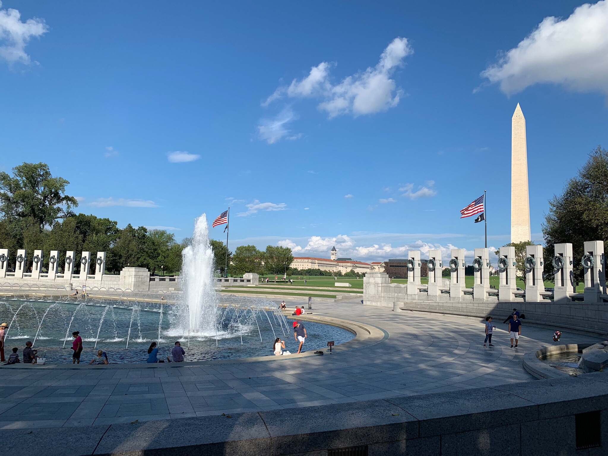
In case you’ve never been there, from Lincoln’s seat, he looks out towards the World War II Memorial and the Washington Monument beyond it. The Washington Monument blocks his view of the Capitol which is lined up perfectly behind it.

Here’s what Lincoln sees from his seat. The Capitol dome is hidden by the Washington Monument.
The giant room that he’s in has wings on either side. I went to the north side where the text of his second inaugural address have been carved into the wall. I read it. He had been inaugurated during wartime and you could really understand, from the speech, how heavy his heart was about our divided nation. I wonder how he’d feel about today’s situation.
Afterwards, I spent some time sitting on the steps of the building with my back in one of the cool, deep groves in one of the columns there. I charted with an older couple from Minnesota who were sitting nearby. It was the wife that pointed out the text carved into the pavement nearby — the place where Martin Luther King Jr. made his famous speech all those years ago. Someone had spilled water on it.