Cooking with Kent.
– Introduction
– Day 1: Getting Started
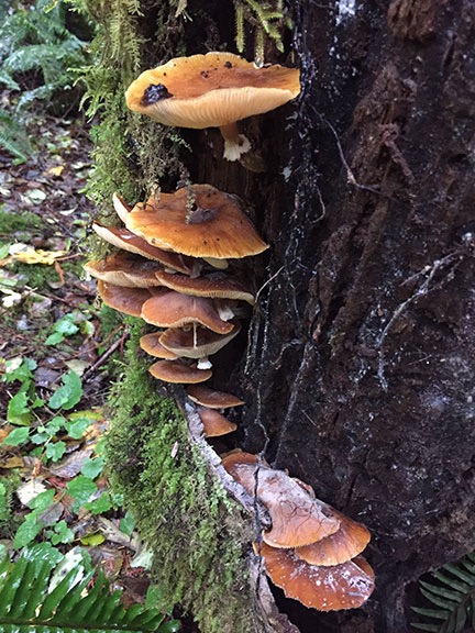
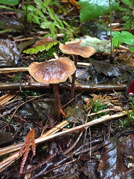
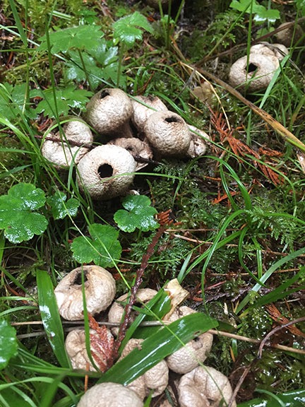
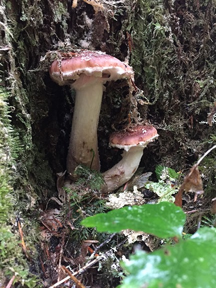
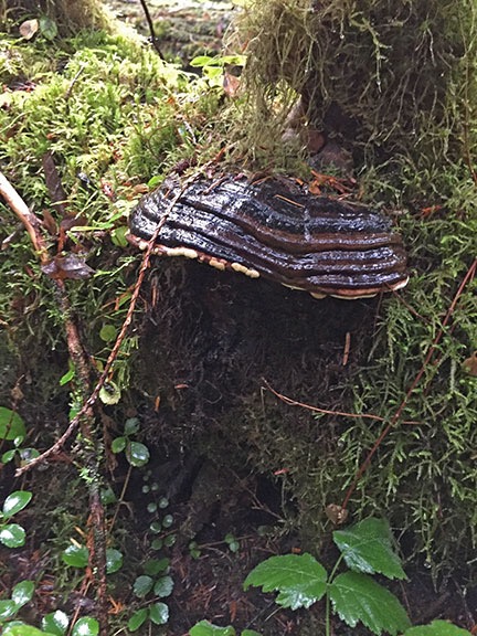
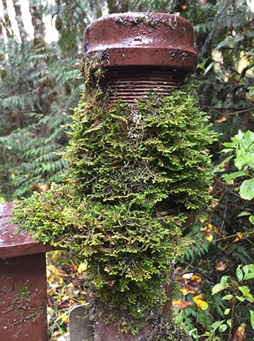
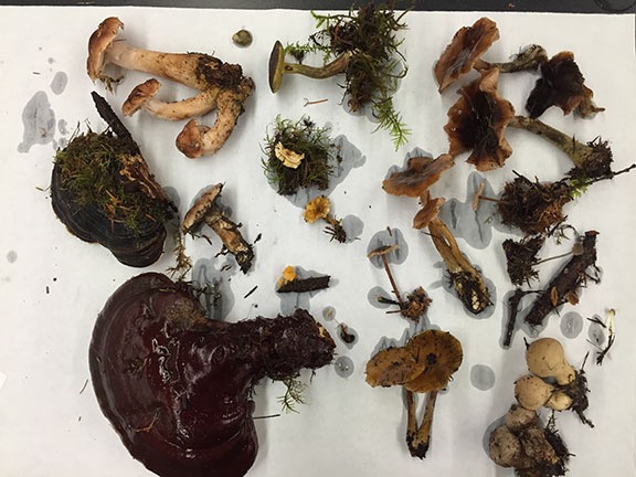
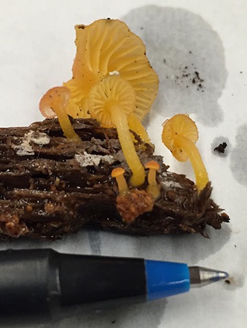
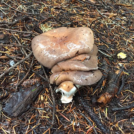
– Day 2: The Mushroom Hunt
– Day 3: Cooking and Heading Home
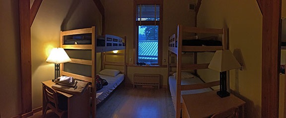
The weather finally broke on Sunday morning. Although I love the sound of the rain more than the average person — a side-effect of being a desert dweller for so long — it was nice to not hear it that morning. I dressed, packed my bags, and made the hike down to the parking lot to stow them in my car.
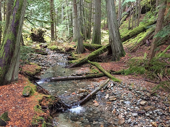
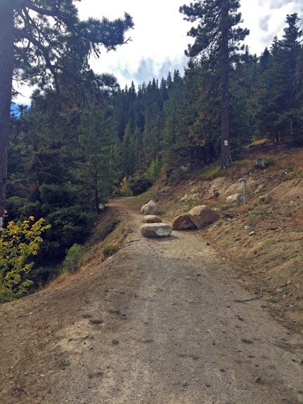
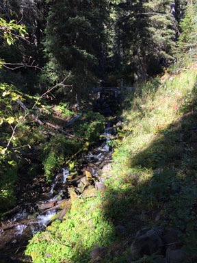
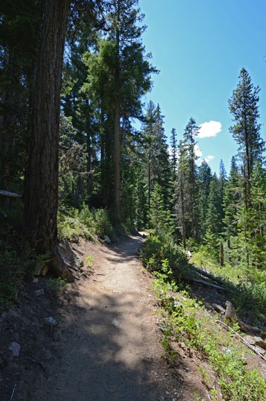
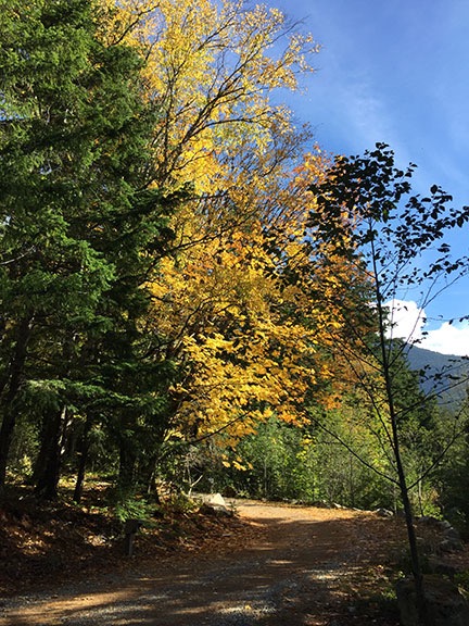
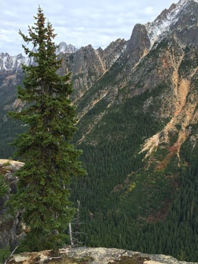
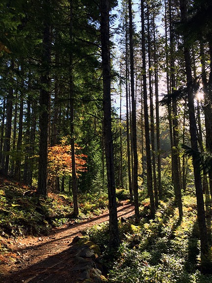 After nearly 40 hours of rain, it was a real pleasure to see the early morning sun shining through the trees, casting long shadows across the wooded trail.
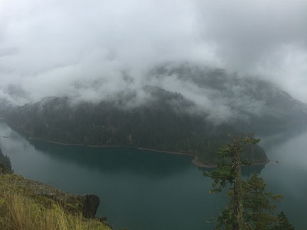
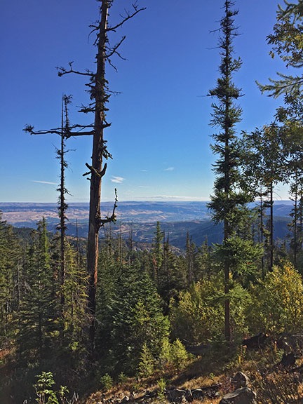
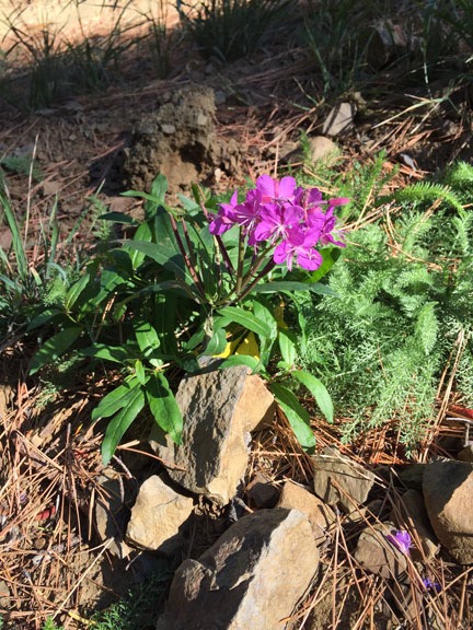
As I walked to the Dining Hall for my morning coffee and a bit more time on that puzzle, low clouds lingered over the area. But by the time we’d finished breakfast, it had cleared considerably. I grabbed my camera and went for a walk on one of the short trails that wound through the woods alongside the lake right outside the Dining Hall. When the clouds parted over Pyramid Peak, I could see that there had been snow in the higher elevations — possibly the first snow of the season.
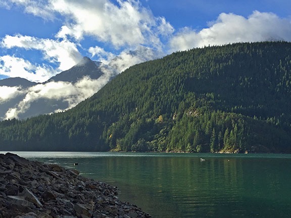
Although you can hardly see it in this shot, Pyramid Peak had a generous dusting of snow.
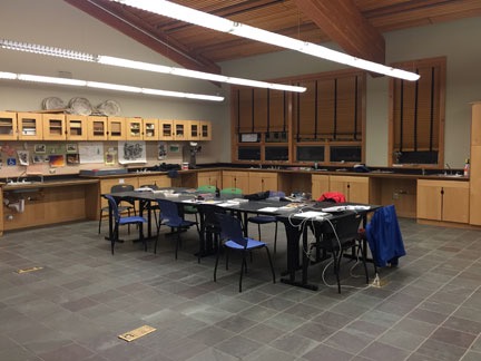
The Cooking Class
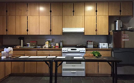
Kent’s cooking class setup.
Back in a small utility kitchen off the Dining Hall, Kent, the Learning Center chef, was preparing for the culinary part of the course. He’d set up a table and some chairs and gathered ingredients.
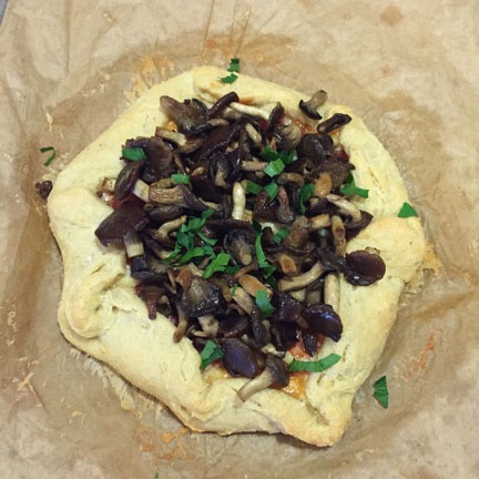
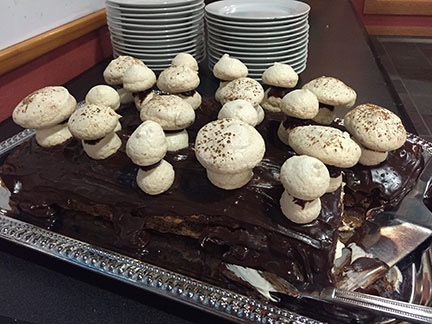
Kent’s mushroom galette was not only delicious, but it had an incredibly flaky crust.
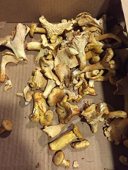
Store-bought chanterelle mushrooms. Kent used them fresh, but also had some dried and powdered mushrooms for the sauce recipe.
Soon we were all gathered together again, watching, listening, and taking notes as he prepared several dishes featuring mushrooms: fresh mushroom pickles, a mushroom galette (pictured), mushroom sauce over pan fried pork tenderloin, mushroom risotto, and mushroom bruschetta. For most of these dishes, he used chanterelle mushrooms, although at least one recipe included a mix. While chanterelles can be found locally, the ones he used were store-bought because (1) it’s illegal to gather mushrooms in a national park (which is where we were) and (2) NCI rules require all ingredients to be obtained through suppliers to limit liability. (It would not have been nice if we were all poisoned because he picked the wrong mushrooms.) His presentation was a lot like watching a cooking show with the added bonuses of being able to ask questions and sample the food. By the time it was over, it was lunchtime but we were all too full to eat in the Dining Hall.
The Trip Home
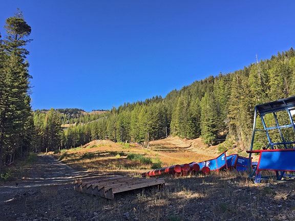
I took one last shot from the parking lot as I left the Learning Center. It was a really beautiful day.
The course pretty much broke up after that. I’d already packed up my room and loaded my car so I said goodbye to Lee. The other two women in the course were going to try looking for mushrooms on the Rainy Lake trail on the way home and I was hoping to join them. But first I wanted to try photographing some of the reflections in Gorge Lake from the road farther west. So I took off that way, hoping to catch up with them on the road.
Unfortunately, the light wasn’t quite right for the shot I’d imagined. I turned around and headed east on the North Cascades Highway, making tracks. The road was pretty much dry and traffic was light and my Honda is no slug but despite my speed I was unable to catch up with them. And when I got to the Rainy Lake trailhead, it was absolutely packed, with cars stretched out the entrance road onto the main highway. (The longer and more popular Maple Pass Loop trail shares the parking lot.) I drove in optimistically and did find a parking spot, but I didn’t find my classmates. I was a bit disappointed, but not exactly shattered. I decided to do the hike to Rainy Lake again. Maybe I’d meet up with them along the way. Either way, I’d try to get the reflection shots I’d tried to get on Friday.
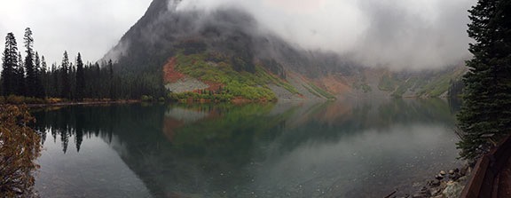
I didn’t meet up with them, although there were a few more people on the trail. The lake was glassy smooth but clouds had moved in. Still, I got a decent shot of the lake with reflections. Seems like I’ll have to keep trying to get it just right.
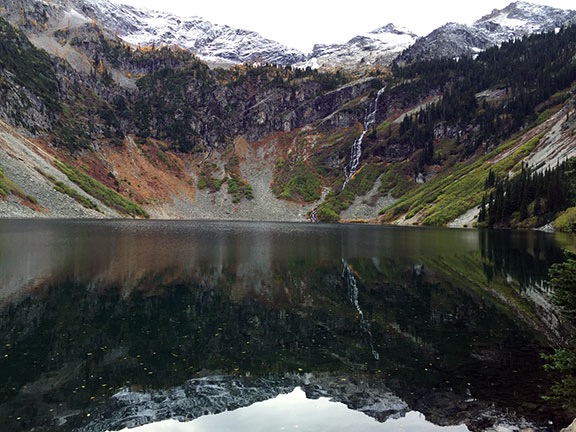
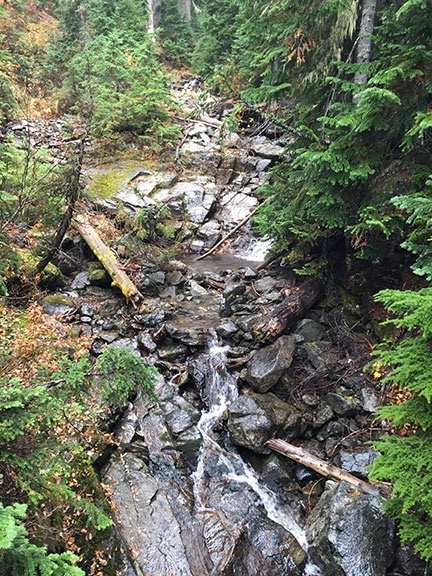
With the clouds gone, I could see the fresh snow atop the peaks around Rainy Lake. Can you see both waterfalls in this shot?
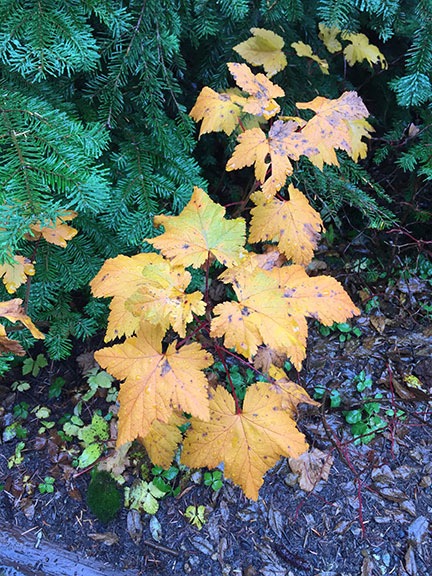
I only made one more stop on the way home: Washington Pass. The weather was turning cloudy again and the sky was gray. But there were quite a few people at the pass. I followed the short trail up to the overlook and gazed out at the rocky peaks covered with fresh snow. The yellow leaves or needles of aspen or larch (or both) trimmed the scenery like Bob Ross brushstrokes. Finding myself alone at the overlook for a few minutes, I composed an odd shot of a reflection in a puddle. (Seriously: I can’t get enough reflections in my photographs.)
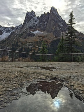
Two shots from the Washington Pass overlook. It’s a shame it had turned into such a cloudy day.
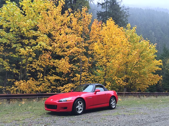
Then it was back on the road, top down, headscarf on. I stopped for gas in Winthrop and kept going. The fall color was in full swing in the Methow Valley and it was a joy to drive through it.
After a stop to visit a friend in Chelan, I made my way home. I pulled into the driveway at about 8 PM. I had a lot of work to do around the house before catching the 5:40 AM flight to Seattle and Anchorage the next morning.
But that’s another story.
Summing Up
I thoroughly enjoyed my experience at the North Cascades Environmental Learning Center. It was was great to be in such a beautiful place, surrounded by interesting, intelligent, and thoughtful people who are in tune with the environment and actually care.
It was also great to be “off the grid” for a few days — I had no cell phone coverage and minimal Internet access. I got a chance to keep up my journal and start some “mindfulness” exercises to help me focus on what’s around me. I need more experiences like this. I really look forward to next season when I can attend base camp there — hopefully with better weather — and get more hiking in.
As for mushroom hunting — well, I already made two forays into the forrest with friends since then, one successful and one not. I’m planning another mushroom hunt later this week and will report here about how I do.