Making decent videos is more than just pointing and shooting.
I’ll start with a true story.
 A friend of mine who also writes computer books bought a Flip video camera a few years back when they were still pretty new. If you’re not familiar with Flip, it’s a very small, point-and-shoot video camera that captures an hour of medium resolution — good enough for Web, anyway — video. (Newer versions are “HD” and capture 2 hours.) She went out with this camera, shot a bunch of video clips, strung them together in a “movie” using the Flip software, and published them to the Web. She then tweeted proudly about her achievement and invited friends to view it.
I viewed it. It was terrible. The video was shaky. The clips were long, pointless, and boring. The ambient sound — which was the only sound — included wind noise and off-camera voices and sounds. In all honesty, I didn’t waste my time with the ten minutes it ran. There wasn’t any reason to watch it. It didn’t show or tell me anything that interested me in the least bit.
That was a valuable lesson for me. If you’re going to share video, don’t share crap video.
Documentary Videography
I’ve been wanting to get involved in the documentary filmmaking process for some time now. I didn’t really want to make the video myself. I was always more interested in getting a gig as a writer or researcher for a professional production, to apply my existing skills in a new way and learn about the process as I worked with an experienced team. Unfortunately, I have no connections in that industry and I’m not ready for a career change (yet). So I decided to give it a try myself.
My biggest challenges are time and software know-how. After a false (and expensive) start with a video production company that took lots of my money and delivered only headaches, I decided to stop screwing around. You know what they say: if you want something done right, do it yourself.
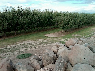
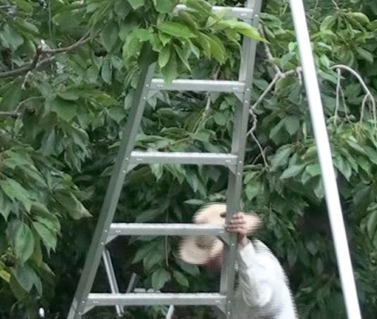
Just because I want to do it right doesn’t mean I could immediately do so. There are a number of steep learning curves to climb along the way. I’ve been climbing them over the past few months. A few weeks ago, I managed to release a pretty darn good rough cut of a 5-minute documentary about the cherry harvest process. Over the following few days, I finished it up by adding title screens, a music soundtrack, and end credits. If you haven’t seen it and are curious, you can find it in an earlier blog post, as well as on YouTube.
The Series
This morning, I thought I’d start a new series of articles that documents what I’ve learned so far about making “pretty darn good” videos. This will help me remember what I did and learned as well as provide a general guide for other amateurs who want to create watchable video. Throughout this series, I’ll use my cherry harvest video as an example, so you might want to watch it just to get a better idea of what I’m talking about when I refer to it.
One thing I won’t cover in this series: recommendations on cameras or details on how to use the software I used to create the movies.
I don’t know anything about any camera other than the one I worked with. In all honesty, you should be able to do a good job with something as simple as a Flip or any consumer video camera model. Even an older one! As long as you can get the video into your computer, you’re good to go.
The software really doesn’t matter, as long as it has decent editing tools. (I use a Mac and Final Cut Pro, but iMovie should be fine on a Mac and I’m sure there are good, affordable video editing packages for Windows, too.) What’s more important than software is your ability to capture good video and put it together in a “story.” You’ll see what I mean as I go through each part in this series.
I’ll post links to each part of this series in this introductory post as I write them. Stay tuned.
October 21, 2011 Update: The series of articles I wrote for about this topic has been converted into a book. You can learn more here.
 And then there’s Facebook, sitting out there, presenting itself as a free way to make contact with potential readers, video learners, and helicopter passengers. A marketing tool, waiting to be used. Like a worm sitting on the grass, waiting for the a bird to snatch it. But is there a string attached that will drag me down into a hole?