Making it up as I go along.
– Day 1: The Road to Mazama
– Day 2: Mazama to Colonial Creek
– Day 3: Colonial Creek to Baker Lake
– Day 4: Baker Lake to Mount Baker
– Day 5: Mount Baker to Chilliwack Lake
– Day 6: Chilliwack Lake to Hozomeen
– Day 7: Hozomeen to Copper Creek
– Day 8: Winetasting My Way Home
It was raining when I fell asleep but had stopped by the time I woke up at first light. The trees dripped steadily on the roof of the Turtleback, reminding me just how wet it was outside, even if it wasn’t raining.
Overnight, not a single vehicle had driven by.
I made coffee and finished up the previous day’s blog post by adding photos. Penny woke up and I let her out. When she came back in, she went right back to bed. It was that kind of day.
The Road to Larrabee State Park

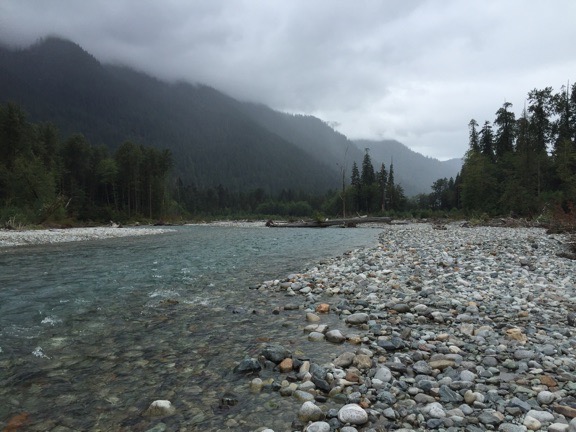
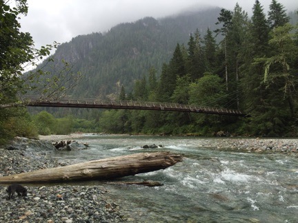
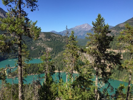
It was starting out to be another dreary day at Baker Lake. This view looks south down the lake.
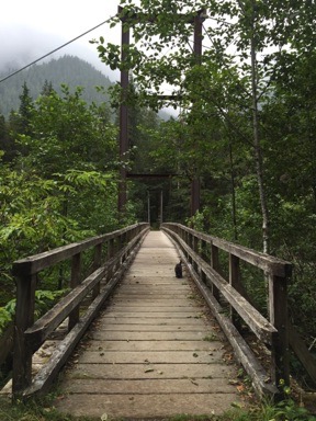
By 8 AM, we were back on the road, heading south along the lake. It was a dreary day, with low clouds and not a single ray of sunshine. But the big surprise was the number of boats on the north end of the lake: dozens of them. There must be some serious fishing out there to get so many guys out on boats in that weather so early in the morning.
On the road down to Route 20 — Route 11, not the “shortcut” I’d taken the day before — I found the park I should have spent the night in: a tiny county park about 5 miles up the road on a small lake. It was nearly deserted with plenty of lakeside spots for only $5/night. Of course, that’s $5 more than I paid to park where I’d spent the night, but at least I would have been closer to my destination on that cloudy morning. And I think it was worth it.
I had three destinations that day, all in Bellingham: Trader Joe’s, REI, and Larrabee State Park, where I expected to spend the night. Common sense would dictate that I should make the two retail stops before the overnight stop, but I wanted to check out the campground before I committed to it. So I told Google to direct me there and it did, guiding me on Route 20 out of the foothills and into the farmland west of the Cascades. We passed over I-5 and hopped on Chuckanut Road, a narrow, winding road that eventually followed the shoreline north, with views of the San Juan Islands in the misty fog. It would have been a great road on a motorcycle, but in a 1-ton pickup with a full-sized camper on top, not so much.
I eventually reached the campground at Larrabee State park and turned in. The pay station was closed — it wasn’t even 10 AM yet — and instructions said to choose a site. There was a list of available sites and a map. I found a few that might work for me and drove in to check them out.
The campground wasn’t anything like I’d expected. It was densely wooded with narrow winding roads that I sometimes thought I wouldn’t fit through. The sites were relatively close together so there was no privacy. But that was sort of moot because it didn’t look like any of the sites on my list were large enough to get my truck into. The RV parking area was the kind of parking lot style “campsites” I abhor, although I admit they did have trees and shade. There were kids all over the place, mostly on bicycles and all loud. There was no sign of the coast or a beach or the tidal pools I’d hoped to explore — apparently you had to drive or hike down to the water. The train noise warning sound was a bit of a put off, too. When I had to back out of a road because it didn’t look as if I’d make a sharp turn up ahead, I decided the campground wasn’t for me.
I stopped in the parking lot to access the Internet. I uploaded my track log and blog post from the day before. I studied my maps, looking for a place to go. Mount Baker had been tempting me — would I find a place to spend the night up there? Would it be worth the drive? Since I had all day, I figured it was worth a try.
I used Google Maps to find the closest REI and continued on my way.
Shopping
REI was only 5 miles away — and on my way to both Trader Joe’s and the road to Mount Baker. I was looking for a lightweight, streamlined kayak that would be easy to take with me when I went out with the Turtleback. The two Costco kayaks I had were beginner’s kayaks I’d bought cheap because I didn’t know how much I’d like paddling. Turns out, I like it a lot. And with the number of lakes I expected to visit on this trip, it sure would be nice to have one with me.
But the REI in Bellingham doesn’t have a big selection of kayaks. I was referred to their website or their Seattle store — neither of which would help me that day. On my way out, I looked at an “adventure” map of the west side of Canada, decided it wasn’t detailed enough, and left empty handed.
Not so at Trader Joe’s, which was just two miles away. I picked up all the things I had on my list for a Trader Joe’s run — and a few more. The cashier and I got to talking about the weather, which was really getting me down. She said she loved it cloudy like that. I guess it’s a good thing she lives on that side of the mountains. More than 24 hours of clouds and rain had been more than enough for me.
The Road to Mount Baker
Google guided me to route 542, the scenic road to the Mount Baker recreation area. Well, the only road to Mount Baker. It left the semi-urban area of Bellingham quickly and passed into farmland. I learned that blueberries are a big crop in that area.
At Maple Falls, I turned toward Silver Lake, where there was supposed to be a campground with a dump station. That campground was my plan B (or is it C?) if I couldn’t find someplace to spend the night at Mount Baker. It was a huge campground with more narrow, winding, wooded roads and tiny campsites. Lots of availability and I could squeeze my truck into any of them. I stopped at the dump station on the way out and emptied my two holding tanks. Although I could have taken on some fresh water, I still had half a tank and didn’t feel like pulling out the hose.
Back to Route 542. The weather was still dismal, with patches of misty rain. The forecast had claimed it would clear up, but Mother Nature wasn’t listening to the forecast.
Wanting a hot meal, I stopped at a restaurant in Glacier for lunch, Graham’s. It looked pretty trendy from outside, but wasn’t the least bit trendy inside. It was just old and dressed up. The restrooms were weird with a big shared room that had a sink and two tiny toilet rooms. Whatever. When I’m camping, I never knock a flush toilet and hot water to wash my hands. I ordered the BBQ meat loaf sandwich, requesting the BBQ sauce on the side. It was amazingly delicious. Seriously: if I could make meat loaf that good, I’d have it all the time. Bacon, onions, provolone, soft fresh roll. Perfect. Wish I could say the same for the wine; it was a local barbera that was simply undrinkable. I tried and failed several times.
Back at the truck, Penny got my leftover meatloaf and seemed pretty happy about that. She’s a finicky eater, especially when we’re on the road, and I’m starting to think that I might have to start cooking for her.

One of the few possible views of Nooksack Falls, which was crammed into a canyon with sheer rock wall sides.

A wooden section of the diversion pipe at Nooksack Falls. You can’t tell from the photo, but the pipe is six feet in diameter.
We continued on our way, making one more stop before the end of the road: Nooksack Falls. This was an interesting waterfall on the Nooksack River, right where it meets with Wells Creek. There are fences that make it very difficult to get close to the falls and a warning sign that actually lists the names, ages, and dates of the people who were killed there within the past 30 years, including the unborn child of one of the victims who happened to be pregnant. (Talk about a downer!) But the fences were low enough to get photos and a good look. The site had been developed for a hydroelectric project downstream and some of the diversion pipe — which still has water running through it — runs through the site. It was kind of interesting in a weird sort of way — especially since a portion of the original wooden pipe was still there. It would have been a nice picnic stop if I needed one. The power plant was destroyed some years ago in a fire, so there was nothing of that to see.
We continued along Route 542, into the forest. Soon the road climbed steeply upward, with numerous tight curves and, later, switchbacks. If there were viewpoints, I didn’t notice them — all I could see where tree-covered hillsides climbing up into the clouds. The rain had stopped, but it showed no sign of clearing up.
I passed signs for the ski area and saw numerous buildings and ski lifts, all of which were closed. The road split into two one-way roads and wound around a small lake called Picture Lake. I got out to take some pictures (apparently, with my Nikon because I can’t find them on my phone) and wound up walking around the whole lake with Penny. Some signs along the way informed me that the lake was popular with photographers for the reflections of Mount Suksan to the southeast. I looked but could only see a mountain with snow climbing into the clouds.

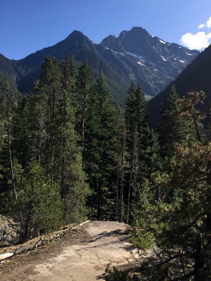
The road to Artist Point, shot from the Artist Point Trail on a less than perfect day.
I drove past the parking area for Heather Meadows, figuring that I might as well take the road to the end, which was just a few miles farther. It got very steep on this last part, with tight switchbacks. It ended abruptly at the parking area for Artist Point, which had about 30 cars in it. From this point, hikers could get on several different trailheads. The one that interested me was the one to Artist Point, mostly because it was short. I grabbed my camera, cracked the windows in the truck, and set out on a hike, leaving Penny behind.

Mountain? There’s no mountain here.
I thought I’d be gone for just a short while, but it was at least an hour. Based on several signs along the way, I assumed I’d be able to see Mount Baker to the southwest if it was clear enough to see. It wasn’t. I could see the base of the mountain and some snow but the top half was completely obscured. I hiked the trail anyway, optimistically believing the weather forecast that said it would clear. It didn’t. I had a nice walk that included some photography and a thoughtful moment alongside a snowmelt creek. I reached several view points where I should have seen the mountain, but I didn’t. Instead, visibility got worse. I headed back, stopping to chat with a man who pointed out a grouse and two chicks. By the time I got back to the truck, visibility was down to less than 300 feet in the parking lot, which was now mostly empty.
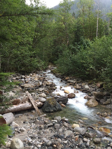
We headed back down the road, this time stopping at Heather Meadows. The Fire and Ice Trail there was another easy one — a loop of about a mile. Although I didn’t plan on doing the whole thing, I did. Again, I left Penny behind. Again, the clouds obscured any mountain vistas. But I did get down to a large snowmelt creek that cut through a rocky, hilly meadow. It was the sound of this creek that filled the valley and could be heard all the way back up in the parking area.

Along the Fire and Ice Trail. This photo makes it look as if it were cold out. It wasn’t — it was probably in the 60s. Just low overcast and dreary.
Looking for a Campsite
By this time, it was after 6 PM and I needed to find a place to spend the night. Part of me wanted to stay nearby just in case the weather cleared. If views of the mountains were possible in the morning, I could come back. But I didn’t want to drive all the way back from one of the campgrounds far below.
I remembered a turn onto a gravel road that I’d passed just below the ski resort. I found it on my map: White Salmon Road, FR 3075. It looked like it descended on steep terrain with three switchbacks before dead-ending. It couldn’t be more than two or three miles long. Maybe there would be a spot along the road where I could spend the night?
Nothing ventured, nothing gained. Ten minutes later, I made the turn and was heading down a narrow road through the forest.

Why yes, there is a bee yard alongside the road near the Mount Baker Ski Resort.
I was very surprised to see a bee yard set up alongside the road. There were about 30 beehives there surrounded by an electric fence wire with a solar panel to keep it charged. (The fence was to keep out wildlife, especially bears, not people.)
I kept going. About a half mile down was a spot wide enough for me to pull over, but I really didn’t like the looks of it — too close to the road. I had no idea how much the road was used and didn’t want vehicles driving right past me.
I kept going. I started thinking about how remote it was. How unlikely it would be to get help if I needed it when I was so far from the main road. How long a walk it would be if something happened to the truck.
Just when I was ready to turn around, I found a campsite on the right side of the road. Slightly raised off the road, it was a clearing with three routes in/out. There was even a sad little fire pit in it.

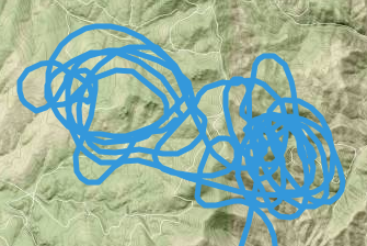
I had a 5-bar LTE cell connection when I shot this photo through the windshield of my truck. I wound up camping within 2 miles of here.
But do you want to know what sold me on it as a place to spend the night? I had a 2-bar LTE signal on my cell phone, probably from the cell phone facility I’d passed back up near the ski resort.
I turned the truck around so I was facing back down the road and my slide would be open away from the road. I maneuvered the truck into position in the site so it was relatively level. And then I killed the engine. We’d landed for the night.
Penny had no interest in walking around outside; she looked decidedly spooked. I suspect that she smelled some of the wildlife — maybe even a bear. So I locked the truck for the night and we went into the Turtleback. I had the door open for a while, but it was downright chilly so I closed it.
Believe it or not, I was still full from that meatloaf sandwich at lunch. I fed Penny some dog food, which she turned her nose up at. So I put her up on the bed while I read for a while, catching up on the antics of a certain presidential candidate who has turned election season into a surreal farce of epic proportions. I also checked in on Twitter and Facebook and peeked at my email. Part of me was glad to be on the grid while another part kind of wished I wasn’t. I liked not wasting time on social networks.
By 8:30, I was up on my bed, doing a crossword puzzle. By 9:30, I was asleep.