I visit my old stomping grounds in northeastern New Jersey and southeastern New York State.
(Continued from Part 1: The Plan and Getting There)
When I got up the next morning, my brother was gone. I’m a light sleeper after midnight but I hadn’t heard him leave. Neither had Penny, which is saying a lot.
Coffee and Pastry
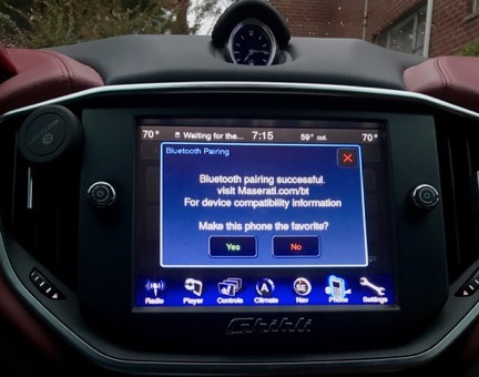
I introduced my brother’s car to my phone so I could listen to my own music and enjoy hands-free phone communication while driving.
I washed up, got dressed, and headed out with Penny in search of coffee. My brother doesn’t drink coffee and his bachelor apartment is lacking in a few of the things I consider necessary, including a way to make coffee. I used Google Maps to track down a coffee shop in nearby Westfield and we headed out in the Maserati to find it.
There was a lot of police activity in Westfield at 7:30 AM and I couldn’t get to the place I was trying to find. I soon realized that there was some sort of street fair that day and the streets were blocked off for that. I parked in a lot, walked right past a Starbucks, and headed off with Penny to find the local coffee shop. I found something better: an Italian pastry shop.
Understand that when you’re born and raised in the New York City metro area — especially by a family with some Italian heritage — Italian pastries are a part of your life. I have a favorite — pasticiotti — which is a sort flakey, covered pie crust filled with custard. It’s extremely hard to find — in fact, the only place I’ve ever found them is in a real Italian pastry shop. Needless to say, there are no Italian bakeries in Wenatchee — hell, there are few real bakeries at all in Wenatchee — and I haven’t found one in Seattle yet, either. So I was pretty starved for Italian pastries and felt thrilled to stumble upon this one.
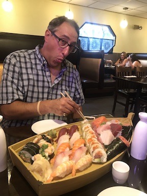
So at 8 AM, I sat at one of just two tables outside the bakery with Penny, munching a pasticiotti and sipping a rather disappointing coffee while watching various vendors drive up and begin setting up their spots for the street fair. Bovella’s pasticiotti was passable, but not nearly as good as they make them at Ferrara in Manhattan’s Little Italy. But their rainbow layer cookies, which bought to snack on throughout the day, were perfect.
Although I would have liked to attend the fair, it didn’t start until 10 AM and I certainly wasn’t willing to sit around for two hours. So we walked back to the car, climbed aboard, and headed out.
Return to the Palisades
Where were we going? I had some loose ideas. I wanted to hike along the New Jersey Palisades. There’s a wonderful trail there called the Long Path and I knew that if I parked at the State Line Lookout, I could easily access the trail. So that’s where we headed first.
But we didn’t take a direct route. Instead, we went up the New Jersey Turnpike to the Paramus Park Mall exit. I had this weird idea about driving past my old house. For years, when I worked in Red Bank and, later, Roseland, NJ, I’d come home this way and I figured that I’d just follow the road as I had back in the 1990s. But although I remembered a lot of landmarks, I didn’t remember all the turns. I couldn’t find my way from memory. Ouch. I wound up following road signs instead.
Eventually, I drove past my old house — the first house my future wasband and I had bought way back in the mid 1980s. The house looked remarkably the same, although someone in the past 20+ years had replaced the jalousie windows with modern ones that were likely a lot more energy efficient. The neighborhood looked a bit run down, but still suburban New Jersey. In town, the butcher/market where we’d bought food for dinner most nights was closed with a For Rent sign in the window. The town looked sad. Even the gas station on the corner was boarded up. I continued on my way, taking only one photo, noting the deer grazing on someone’s lawn as I drove out of town.
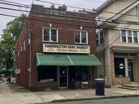
One of my fondest memories of my first house was walking one block into town to this German butcher shop/market to buy fresh, hand cut meat for dinner.
There was construction so I couldn’t drive the usual way — which I did remember — to neighboring Closter, NJ. I followed detour signs and eventually made it into town. Although the town’s Main Street looked pretty much the same, the strip mall that used to have a Grand Union supermarket was different. Now there was a Whole Foods. I stopped and picked some soup, bread, and dog food. Then we continued on, up the steep hill into Alpine and eventually onto the Palisades Interstate Parkway.
It was a gray day and fall had not yet arrived. I remembered the last time I’d been at the lookout — with my future ex-sister-in-law in 2013. It had been closer to Halloween and the leaves were just peaking. We’d gone for a hike down to the ruins at the bottom of Peanut Leap Falls and, afterward, hiked to the State Line Lookout. State Line Lookout was also a big part of my past — in the 1990s, before moving to Arizona, my future wasband and I had belonged to a motorcycle club that met there for rides most Sundays in the spring, summer, and autumn.
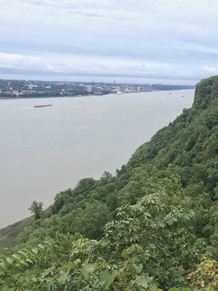
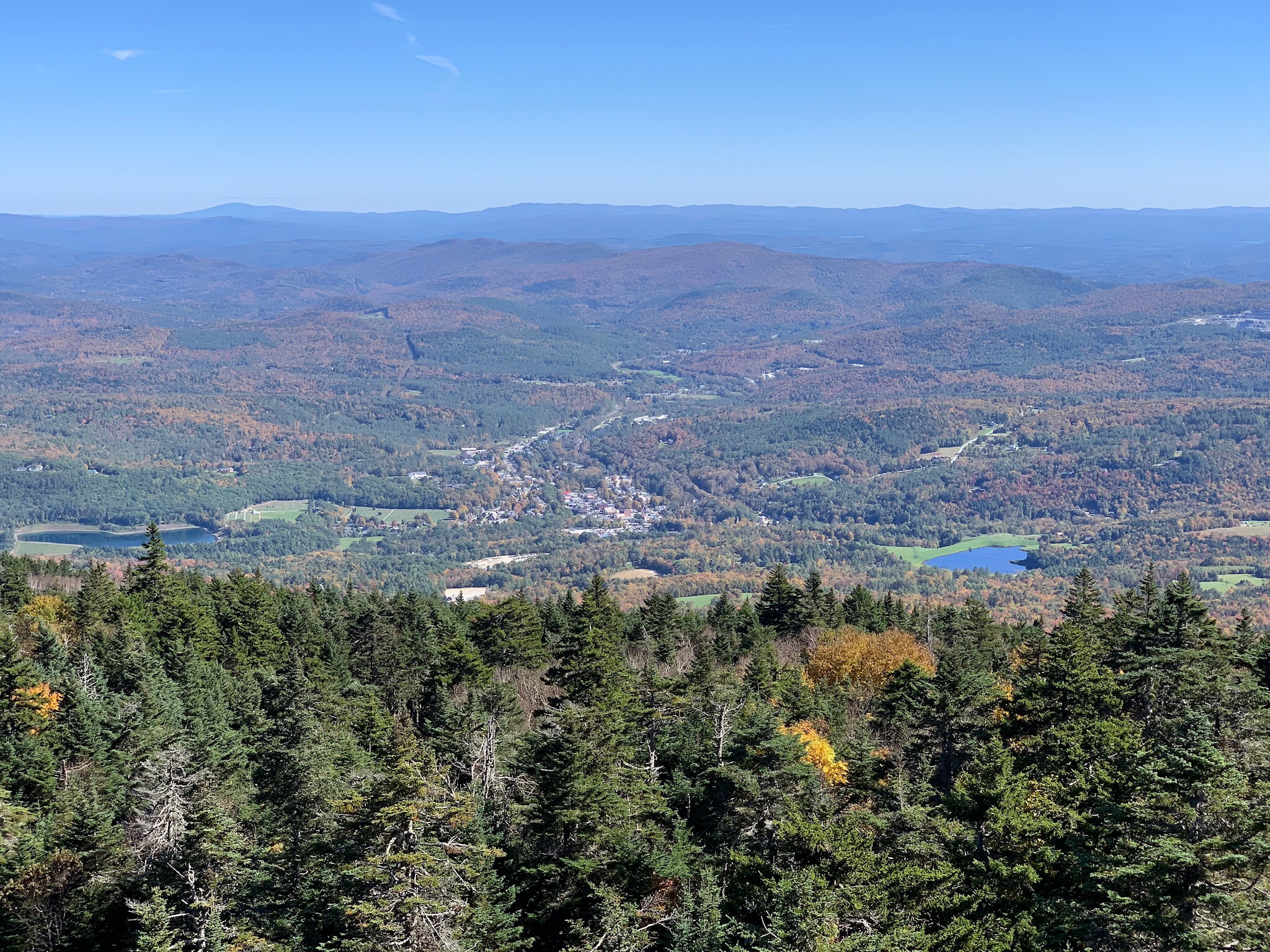
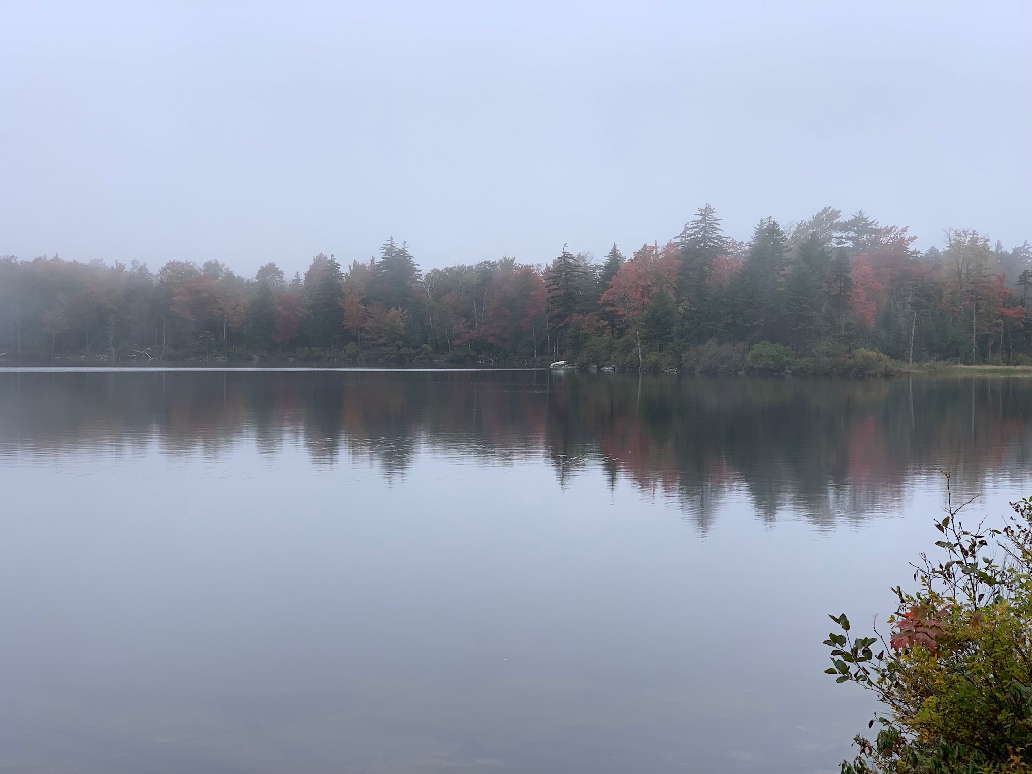
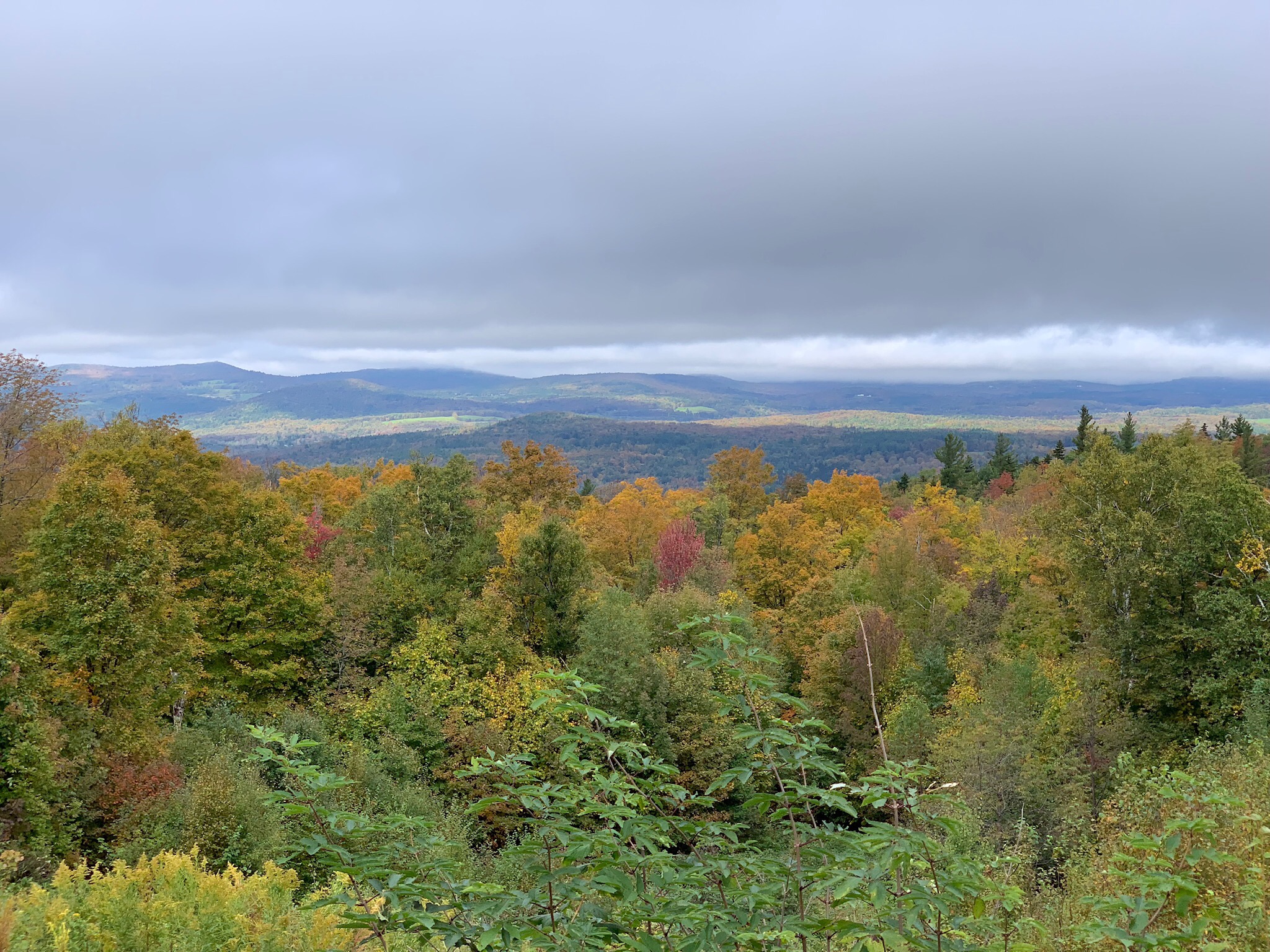
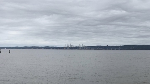
The view from State Line Lookout, looking southeast. That’s the mighty Hudson River down there. The cliffs on the New Jersey side stretch all the way down to the George Washington Bridge, which is just beyond the range of this photo.
The place looked just the way I remembered it: the big parking lot filled with visitor cars and motorcycles, the old CCC-built refreshment/gift shop, the lookout points where you can see up and down the Hudson River and out over Westchester County. We got out and went to one of the overlooks where a bunch of photographers with long-lensed cameras were scanning the skies. Birdwatchers. I asked what the’d been seeing. Mostly hawks, but they had seen a bald eagle earlier in the day. I didn’t tell them that a bald eagle often roosts in one of my neighbor’s ponderosa pine trees at home.
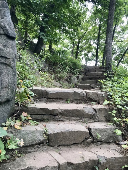
Looking back up the steps that take you down toward the Hudson River from the top of the Palisades at State Line.
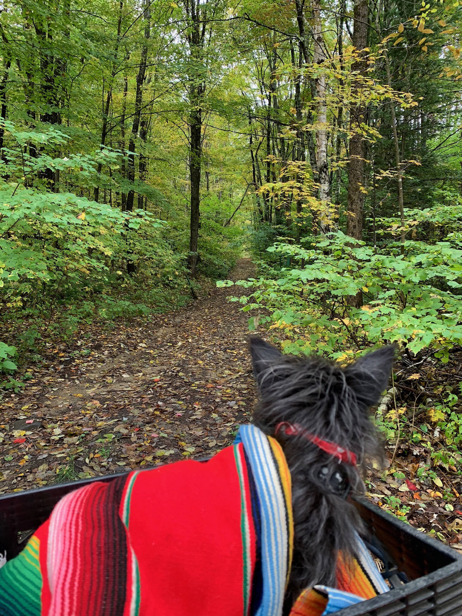
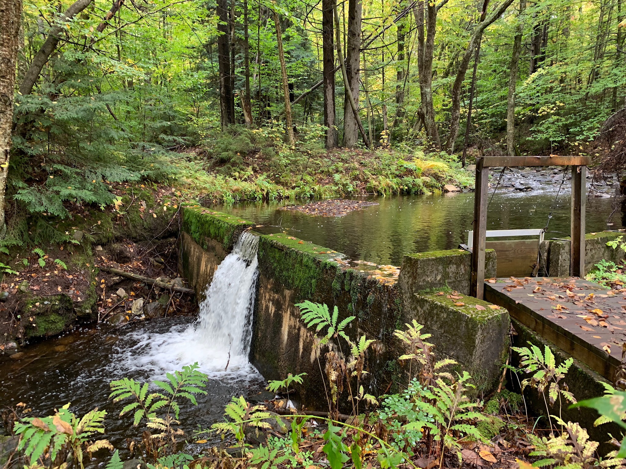
We set off on a hike along the Long Path. My destination was the Women’s Federation Monument, a stone structure built and dedicated in 1929 that looks like a little castle. To get there, you follow a well-marked trail into the woods, down a flight of rugged CCC-built steps, across a little wooden bridge, and up a trail on the other side of the ravine. It’s not a long walk, but portions are steep. I remember taking my grandmother on this walk years ago, not realizing how steep it was. Along the way, she saw a snake on the trail and attacked it with her walking stick. (She was a gutsy old lady.)
We passed a few hikers walking in the opposite direction when we reached the bridge. That’s where the trail forked off and descended all the way down to the river. We continued to the little castle. When we arrived, we had the whole place to ourselves.
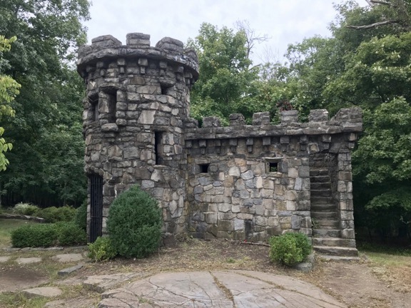
The Women’s Federation Monument is a tiny castle overlooking the Hudson River on top of the New Jersey Palisades.
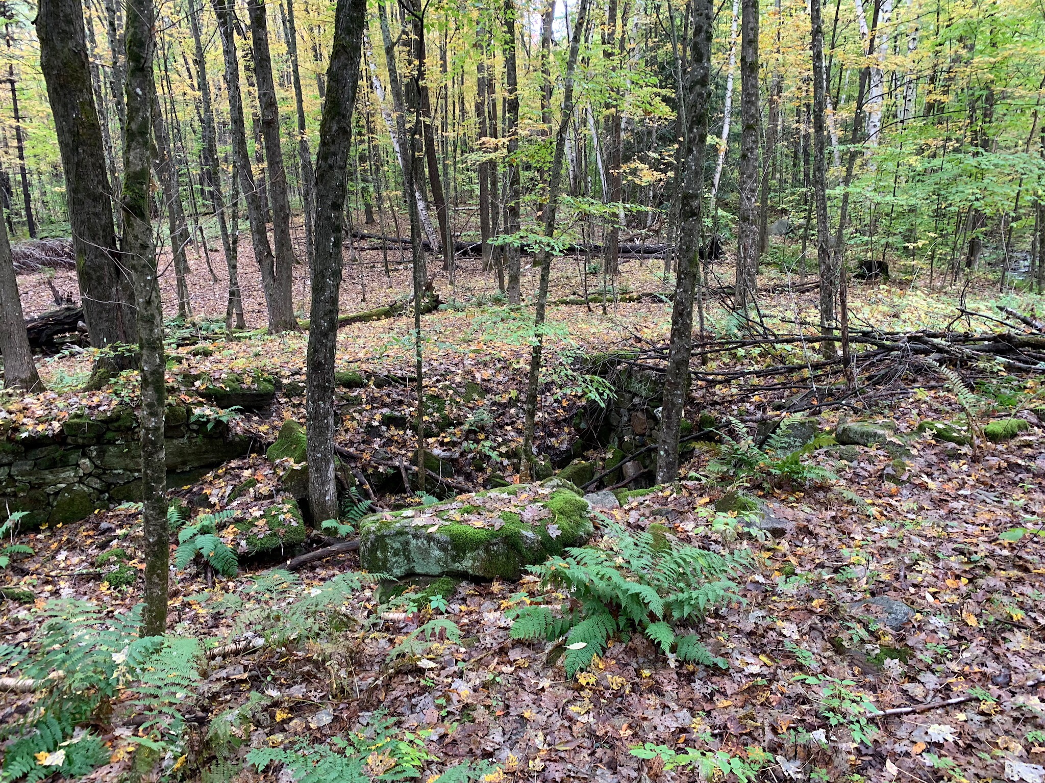
I took pictures from various angles, went up to the parapeted rooftop, and came down for a look over the river. Although it was quiet there, I could hear the sound of cars zooming by on the Palisades Interstate Parkway only a quarter mile away through the dense forest. After a while, another woman hiking with her (larger) dog arrived. We chatted briefly before I continued on the trail. I hadn’t gone far when something an odd shade of blue-green caught my eye. I made my way through the undergrowth and found myself at the edge of an abandoned swimming pool.
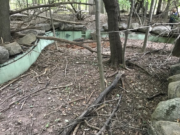
This long abandoned swimming pool is the only trace I saw of the cliff-top estates that once lined the Palisades. The woman in the upper right corner of the photo is the other hiker, who I called over when I found the pool. She said she hikes there all the time and had never seen it.
(By the way, you can see a weird little documentary about the history of the Palisades Interstate Park here. It includes a photo of the dedication of the Women’s Federation Monument in 1929 and some footage of construction at State Line Lookout.)
Penny and I followed a narrow side trail that kept us close to the edge of the cliffs. It was quiet and gave the illusion of being remote. I met up with the other hiker a few times and a jogger passed by once. Other than that, it was surprisingly deserted for midday on a Sunday.
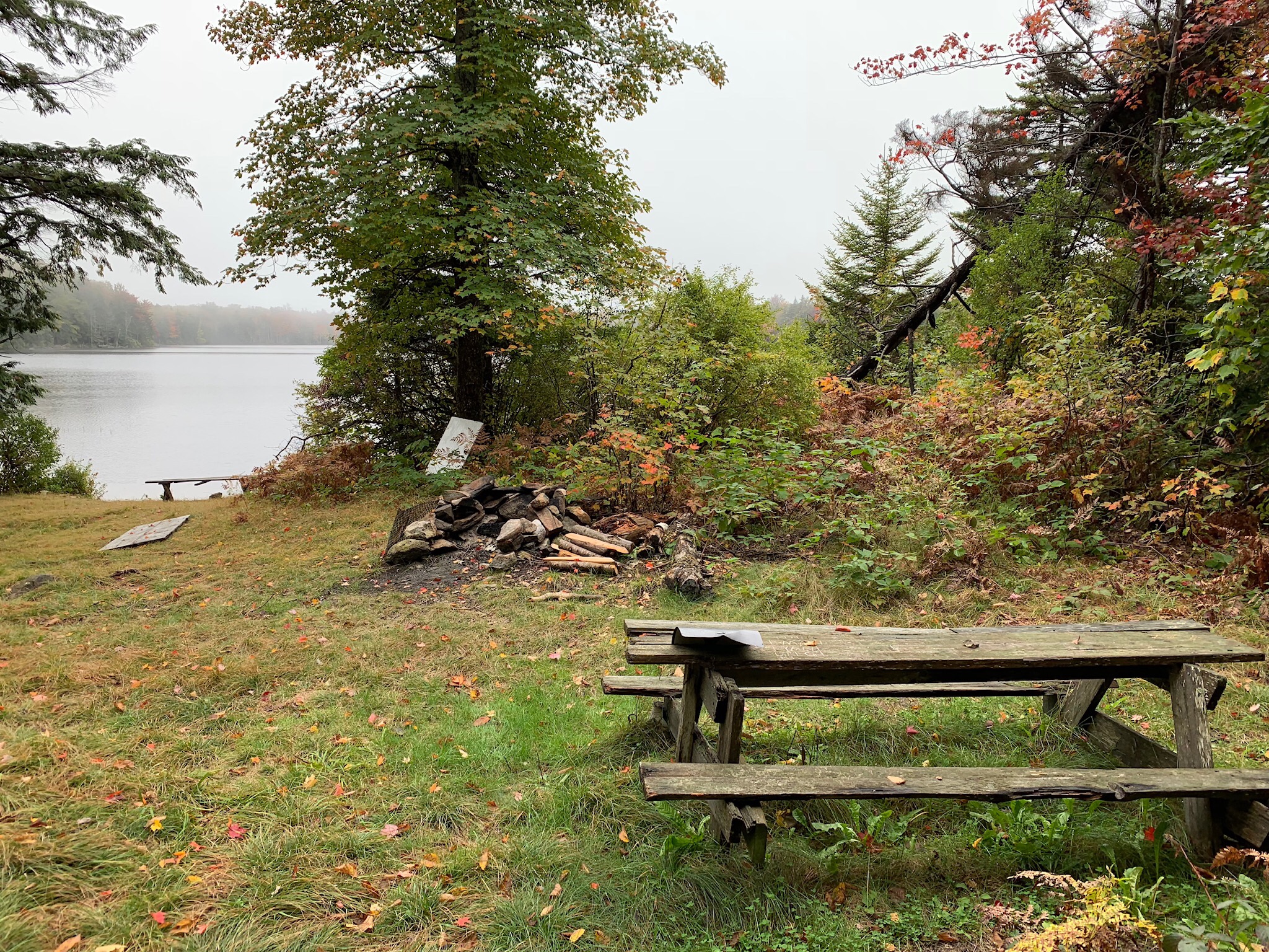
After a while, we made our way back past the monument, down the hill, across the ravine, and up the stairs to the State Line Lookout. I got my soup and bread and the dog food out of the car and sat at a picnic table with Penny for a quick lunch. A motorcyclist stopped by to chat about the Maserati for a while — he knew more about it than I did. I put Penny in the car and walked back to the Lookout’s snack bar/gift shop building for another look inside. It looked the same, but better. I was glad that the hot dog cooker (and its smell) was gone. I bought a bag of potato chips and headed back to the car.
There was a Ferrari and a few other exotic cars parked in a fire zone along the edge of the parking lot as I left. I wondered if I could have made a few new friends if I joined them with the Maserati, but didn’t bother to try.
Piermont and Beyond
My brother had recommended taking the car up route 9W (no, not 9 west, Google) to open it up a little. So that’s what I did. I don’t know what he was thinking — there were lots of lights and just enough traffic to take the thrill out of driving. Maybe he expected me to go all the way up to West Point? In any case, I didn’t make it that far.
I stopped for a while in Piermont, an old town just downriver from the Tappan Zee Bridge. When I was a kid, it barely existed. But in the past 40 years, it had become gentrified, with lots of upscale housing, shopping, and dining on and near the pier. We walked through a disappointing Farmer’s Market and then strolled through town, where I visited a few shops. I also stopped in the park for a look at the bridge that replaced the old Tappan Zee, which I hear they want to name after Mario Cuomo, a former New York Governor. To me, it’ll aways be the Tappan Zee, named after the Dutch name for the wide area of the Hudson River it crosses.
In the distance, I could see the old Tappan Zee Bridge, which is now being dismantled, along with its replacement.
Then we continued up 9W along the river. I stopped for just a moment at the site of the old Hudson River National Defense Reserve Fleet, which is now marked with a placard and pair of ship anchors. When I was a kid, my family had a small motor boat that we’d launch under the George Washington Bridge. Common day trips back then included a cruise around Manhattan Island, a trip down to the Statue of Liberty, or a trip up the Hudson River, sometimes as far as West Point. Back in those days, the Navy had a fleet of ships anchored at a point along the river, waiting in storage in case they were needed. I clearly remember my father steering our little motorboat up and down the rows of huge ships parked there. They were removed back in 1971 — gives you an idea of how old I am (!) — and sold for scrap, but the memory is strong.
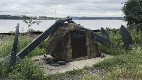
This is all that remains of the dozens of Navy ships once anchored here.
At this point, I was just driving, trying to enjoy the fast car but getting stymied by traffic lights and slower traffic. But I kept driving. Part of me wanted to see the old Bear Mountain Bridge, which was the next Hudson crossing. Another part wanted to check out the rib joint my brother likes near West Point. I eventually reached the bridge but, by that time, I decided to skip West Point. Instead, I headed toward Bear Mountain State Park. I would have stopped in for a quick visit to the Bear Mountain Inn — I remembered its cafeteria-style dining from my last visit 25+ years ago — but it looked crowded with day trippers from New York and the parking lots were full. And had there aways been a fee for parking? So instead, I hopped on Seven Lakes Drive, a place I knew I’d get a good driving experience. It was there that we’d often come with our motorcycles on a Sunday morning, whipping, one after another, around the curvy roads that wound through the forest between the lakes.
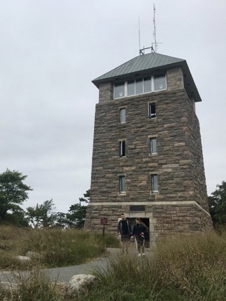
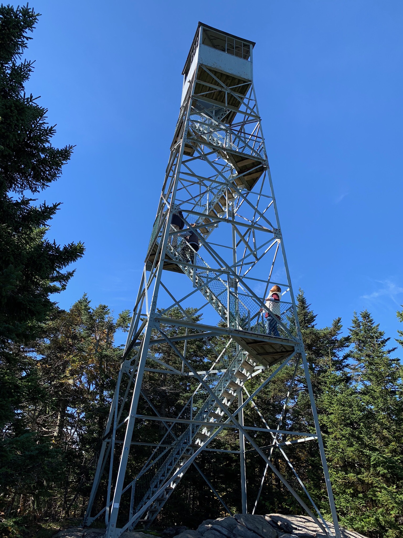
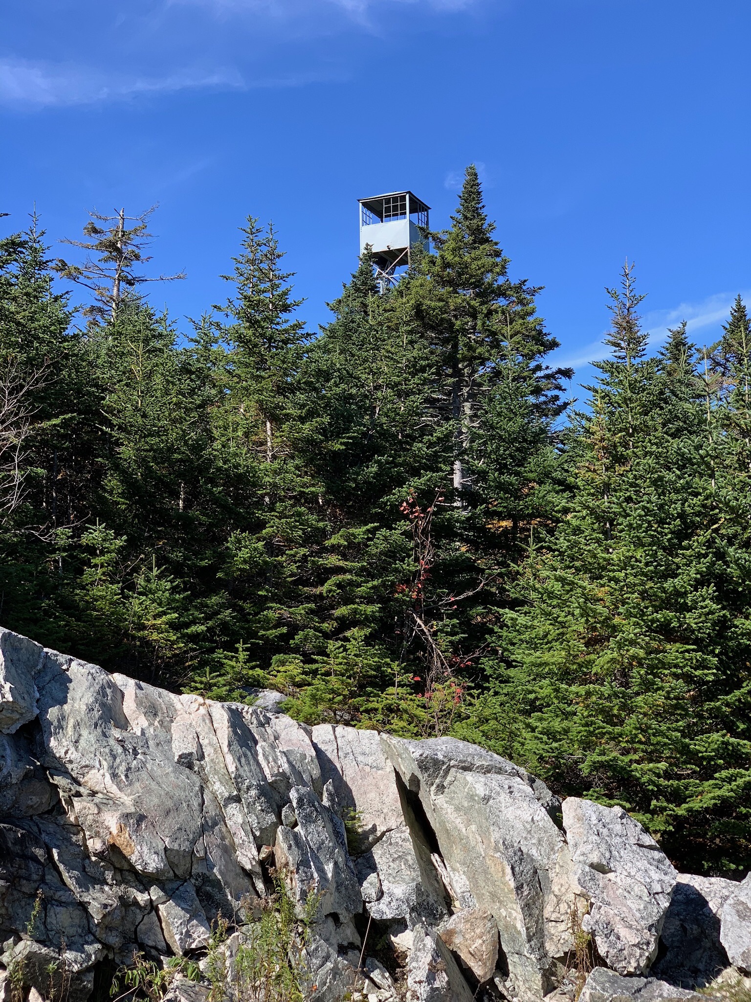
Perkins Tower, from the ground.
But first another stop: Perkins Tower. I couldn’t remember ever being there, but I know I had been at least once, probably on a motorcycle outing with the group. I followed the road up to the top and squeezed into a parking spot near the tower.
Leaving Penny behind, I made the short walk to the tower and the climb to the top. There were a handful of people inside — I guess most of the folks whose cars filled the parking lot were out hiking or admiring the view from ground level. At the top is a room with views in every direction — and annotated photographs for each direction that point out landmarks.
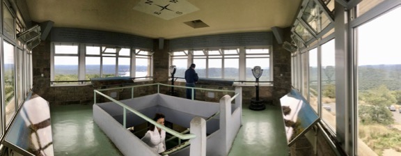
Here’s a panoramic view of the inside of Perkins Tower, shot from one corner.
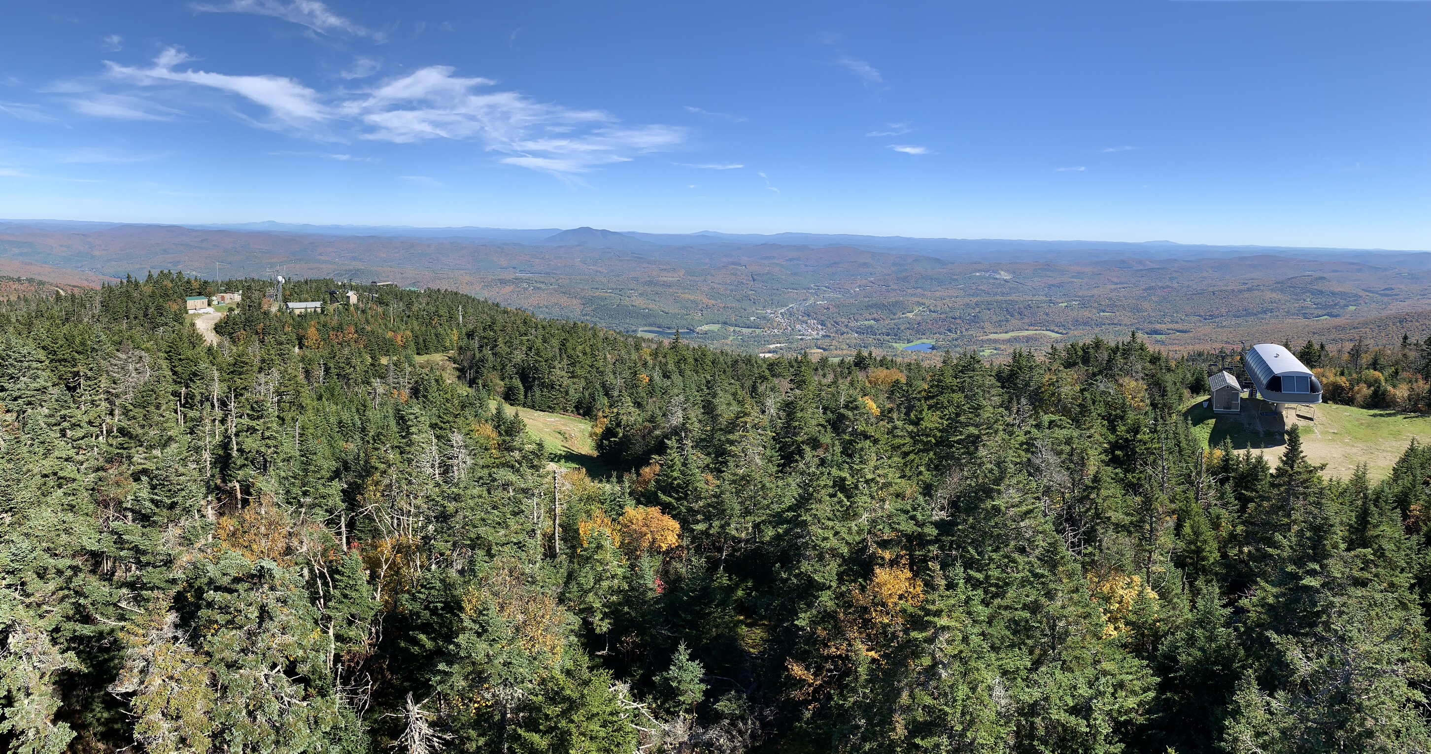
I popped a quarter into one of those binocular do-dads for a look at the skyscrapers of Manhattan through the haze, then made sure anyone standing nearby got a look, too. Autumn had barely touched the area; I knew the view would be spectacular in just a few weeks.
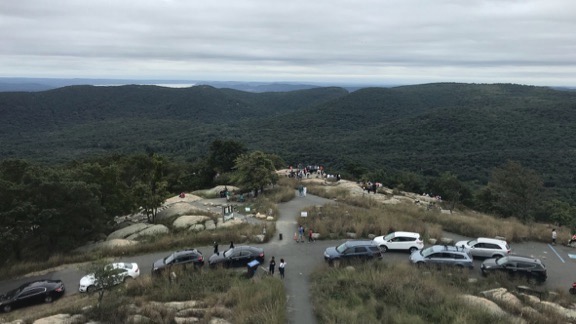
The view south from Perkins Tower on that overcast day. You can see the Hudson River above the trees on the left. Manhattan’s skyscrapers are nearly dead center over the trees, but you can’t see them in this shot. My brother’s car is just left of the path; I’m not really sure if that was a parking spot, but it worked.
I came down the tower, climbed back into the car where Penny waited, and then drove back down the mountain. I followed signs for Seven Lakes Drive. Soon I was on vaguely familiar winding roads, ignoring the posted speed limit signs just as we had on our motorcycle flights through the area years ago. It was pleasant, but it wasn’t the same.
More Reminiscing — and a Good Meal
At the south end of the drive, it was time to return to my brother’s place. That’s when I was reintroduced to the unpleasantness of Sunday afternoon traffic.
I quickly got off the highway and started taking back roads, using Google Maps to help me find one county road after another. I wove my way southeast through Rockland County. In one area I drove through, there were all kinds of makeshift huts erected near people’s homes and in their driveways. They triggered a memory from my college days when the on-campus Jewish student club, Hillel (thanks, Google!) built similar structures in September. Doing my homework now, I realize that it was September 23 and the structures were sukkah structures for the Sukkot festival. I was passing through an Orthodox Jewish community. I hadn’t seen sukkah structures since I left the New York metro area back in the late 1990s.
I eventually made my way back to the Palisades Interstate Parkway and got off at Exit 2. From there, I drove to Hillside Avenue and turned west toward the town I’d been raised in, Cresskill, NJ. I came down the hill past the huge estates, recalling the days when my father would take the family on a Sunday drive up “the rich people’s hill” where the big houses were. He had no idea what was to come.
I drove through town, past the building my grandparents had owned with their bakery on the ground floor — it’s still the upholstery shop that went in when they sold in the 1970s. Then up Grant Avenue, past my third grade best friend’s house — she moved to Old Bridge after third grade — and right on Brookside Avenue. I turned left onto Merrifield Drive — renamed for my neighbor after he won the Nobel Prize for Chemistry in 1984 — and drove slowly past the site of my old house. Built in 1901 on 3/4 of an acre of land, it had been torn down about ten years ago and replaced with a pair of ugly McMansions. This was the first time I’d seen them and I wasn’t impressed. It was nice to see that the rest of the neighborhood was mostly intact and that the Heberts still lived in their house on the corner and had a big garden every summer.
And no, I didn’t take a picture. I’d rather remember it as it was.
You might be wondering why I titled this part of my trip account “The Farewell Tour.” Well, it’s mostly because I spent so much time revisiting the places that had been a part of my life from birth through 1997, when I moved with my future wasband to Arizona. I don’t get back east as often as I used to, mostly because my only relative there is my brother. Throughout this trip, I worked with the premise that I might never be back at all. So every time I revisited one of the places I used to go, I looked at it through the eyes of someone who might never see it again. I know it sounds odd or even sad, but I’m realistic about these things. Why revisit old places again and again when you can visit new ones? That’s what I need to focus on from now on.
I drove south on Jefferson Avenue, past the place I used to pick up newspapers for my paper route in the late 1970s, eventually getting to Tenafly. From there, followed the road along the tracks to Englewood. I’d already decided where I was having dinner: Baumgart’s. That’s where my wasband and I used to eat once in a while. It’s a Chinese restaurant with an Art Deco look and a Jewish name. My grandmother used to eat there sixty or seventy years ago when it was a regular old lunch counter cafe.
I ordered the cold noodles with sesame sauce — they used to make the best — and an eggplant with chicken dish. Then I texted my brother to see what he wanted and made another order to go for him. I took my time eating, remembering other meals there. The noodles weren’t as good as I remembered them and they no longer put pickled broccoli stems — don’t knock them until you’ve tried them — on the table to munch on while you wait for your food. But my meal was good and I was glad I’d come.
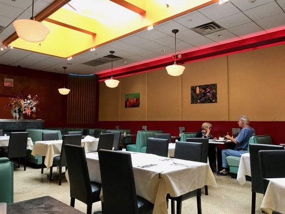
The inside of Baumgart’s in Englewood. There’s still a lunch counter up front. There weren’t many people there, probably because it was pretty early for dinner.
I let Google guide me back to my brother’s place. By that time, traffic had subsided and I was traveling away from New York, anyway. I had a little trouble finding my brother’s home — he lives in a huge garden apartment complex — but eventually homed in on it. I parked the car, locked it, and went inside with Penny for the night.
Tomorrow would be the start of my first big trip on this vacation and I wanted to get some rest.
(Continued in Part 3.)