Snowbirding 2018 Postcards: Dawn at Tyson Wells

As discussed in the previous post, I’m currently camped out at the Tyson Wells Rock and Gem Show in Quartzsite, AZ. This morning dawned perfectly clear and calm — a typical desert morning. I sent my Mavic up to take some photos. Here are two of the best.

Here’s the show area from the northeast corner. The area in the upper left will soon have an enormous tent for the RV show that starts around mid-month. That’s the show that brings in tens of thousands of RVers every January. Don’t you just love the way the mountains look in the early light?

Here’s the same area, but from the southeast. Beyond the freeway, you can see most of the town of Quartzsite. Beyond that, a lot of open desert.

Snowbirding 2018 Postcards: Camping at the Holtville Hot Spring LTVA

The Holtsville Hot Spring in Southern California is a BLM — that’s Bureau of Land Management — managed property just off of I-8 east of Holtville. The property features a maintained hot spring with two soaking tubs and a hot shower, a 14 day free camping area, and a long-term visitor area (LTVA) where camping is available for $40 for two weeks or $180 for the entire season.

I arrived here on Thursday with my friend Janet and we camped out for the night in the free 14 day area. We had a nice soak in the hot tub the following morning and then Janet departed for Yuma and Quartzsite. I stayed behind. I decided that I wanted to spend a few days in the area and I splurged for the $40, 2-week camping permit. I can use the remaining time next week at another LTVA in California or Arizona.

The main benefit to camping in the area north of the freeway is that it is easier to access the hot spring via a hard-packed dirt road that I can take my bicycle on. The sites are spread apart and because there are some trees in the area, there’s a certain level of privacy. The farther away you go from the hot spring and freeway, the quieter it is and the fewer campers are around you. I’m about half a mile away and can’t really hear the freeway at all.

The folks who stay in places like this are serious about off the grid camping. Just about every single rig out here is equipped with at least one solar panel. I have yet to hear a generator running. There are no power, water, or sewer hook ups or even a dumping station. The only luxury convenience is a set of dumpsters so you can get rid of your trash. I noticed more than a few folks filling up gallon sized jugs at the hot spring from a hose that’s provided just for that purpose; I’d like to think that they wash with this water and don’t actually drink it.

Almost all of my fellow campers are retirees and I estimate that at least half of them live on the road full-time. The types of campers range from slide in truck campers like mine to luxury Class A motorhomes pulling cargo trailers or cars. More than a few people have motorcycles or ATVs. People are friendly and often stop to chat while walking or biking by with their dogs.

I sent the Mavic up for picture of my campsite today. Here’s one that gives you a good idea of the area around me.

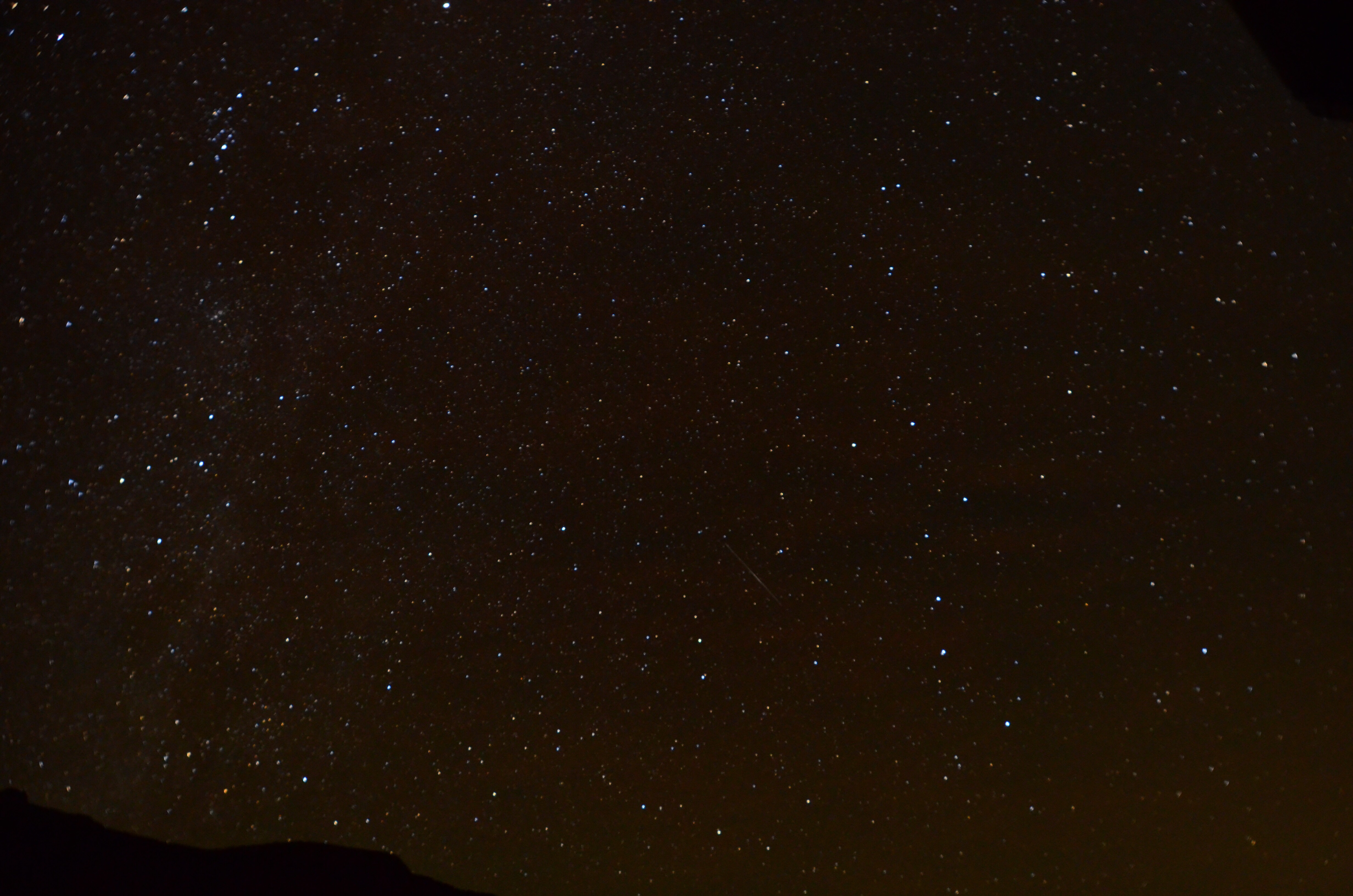
This photo faces south on an overcast, hazy day. Normally, you’d be able to see mountains in Mexico, which is only 6 or 7 miles away. If you’re wondering why I didn’t back all the way into the campsite, it’s because there are a lot of soft, sandy spots that I could get stuck in. Because I’m only staying here a few days and because I can use my bicycle to ride between my campsite and the hot spring, I didn’t bother taking the camper off the truck. I did, however, lower the legs to steady it so it wouldn’t rock so when I’m inside. The photo makes the place look kind of dreary but I think it’s today’s overcast skies more than anything else. The weather has been in the 70s every day, dropping to the 40s at night. This is the first overcast day I’ve had in over a week, but there’s still enough solar radiation to charge the camper’s batteries.

Autumn 2017 Roadtrip Postcards: The Night Sky Photos 

So far, I’ve attempted night sky photography in two places: Horsethief Campground Just outside of Canyonlands National Park and Lower Onion Creek Campground in Castle Valley about 25 miles from Moab. In both cases, I shot before dawn because a waxing crescent moon illuminated the night sky until after I’d gone to bed. I’m not really happy with any of the images, but I thought I’d share four.
At Horsethief, the problem was that the night sky didn’t really get dark enough and there were some light clouds.

The night sky to the southwest. You can clearly see Orion’s Belt.


My Truck and camper, parked under the night sky. The light in the camper is a candle.


At Lower Onion Creek, the Sky was very dark. But the problem there was wind. Although I have my camera on a very sturdy tripod and stayed on the west side of the camper so it would shield me, there was enough movement to blur the stars. Very disappointing!

Milky Way on the left, Big Dipper on the right.

Another night sky shot with disappointing focus.

Autumn 2017 Roadtrip Postcards: Canyonlands National Park, Grandview Point

I arrived at Canyonslands National Park’s Island in the Sky district early enough on Wednesday to get a few photos from the Grandview Point Lookout. Here’s the best of the bunch off my phone. That light colored line in the foreground is 100-mile long White Rim Road, a dirt road I’d love to explore with my Jeep one day.

A view from Grandview Point into some of Canyonlands National Park’s canyons.

Snowbirding 2017 Postcards: Salton Sea Birds

A few photos from my visit to the Salton Sea.

While I was traveling around Arizona and California this winter, I had more than a few opportunities to do some photography. At the Salton Sea in California, which I visited in mid January, I spent much of a day photographing the birds along the salty water or walking on the barnacle beach. For most shots, I used a 70-300mm Nikkor lens on my Nikon D7100 DSLR. I thought I’d share the best of them in a quick “postcards” blog post here.

I suppose I should say a few things about the Salton Sea. It’s a strangely beautiful, highly saline lake in the middle of the desert in southern California. It’s surface is roughly 235 feet below sea level. It was formed years ago when the Colorado River flooded and jumped its banks, pouring water into the low-lying desert for about 16 months. There are no outlets; the lake is fed by irrigation runoff and kept level by evaporation. The salt level rises steadily. The beaches are not sand; they’re barnacles. The place is home to more than 300 species of birds, many of which are migratory. The visitor center has a lot of good information with friendly, knowledgeable staff. I would definitely visit again. You can learn more on Wikipedia and the Salton Sea Authority website.

Here are the bird photos. One of these days, I might get back into this blog entry to add captions with the names of the birds. If you know any that aren’t named here, please comment to let me know and I’ll add a caption.

Salton Sea Birds

Salton Sea Birds

Seagull at Salton Sea
Seagull at the Salton Sea.

Salton Sea Birds

White Heron at the Salton Sea
White Heron at the Salton Sea.

White Pelicans
White Pelicans at the Salton Sea.

Salton Sea Birds

Salton Sea Birds

Seagull at Salton Sea
Seagull at the Salton Sea.

Salton Sea Sunrise
Birds flying at sunrise over the Salton Sea.