Some rockhounding and a campsite on the edge of the desert crowd.
• The Long Drive
• At the Backwaters Campsite
• In Mesa and Gilbert
• A Quick Stop in Wickenburg and Forepaugh
• Off Plomosa Road
• Camping at the Big RV Show
• A Trip to Organ Pipe with the WINs
• The Tucson Gem & Mineral Shows
• Wickenburg Gold Rush Days
• Constellation Park Interlude
• White Tank Mountain Park
• Bumming It in Phoenix and Apache Junction
• A Dose of Civilization
• Return to the Backwaters
•
I left Wickenburg for what would be a 17-day stay in the Quartzsite area just after noon on Friday. The first part of that stay was completely unstructured; I’ll tell you a little about it here.
The First Rockhounding Hike
On my Christmas wish list was a book called Gem Trails of Arizona and my brother got it for me for Christmas. I packed it and took it south with me. The same book was being sold by my next door neighbor at the Flagg Gem and Mineral Show in Mesa and I had a chance to thumb through it. I was motivated to try a few of the sites and, since one of them was right along my route to Quartzsite from Wickenburg, I figured I’d start there.
Understand that I’m only interested in one kind of stone: stones I can polish into cabochons to put into jewelry. Crystals don’t interest me very much at all. Neither do minerals that show all kinds of cool features that might interest collectors. If it can’t be polished into a cabochon, I’m just not interested.
That said, this particular site, titled Brenda Jasper in the book, was said to have “some very colorful jasper. Specimens show a variety of markings and inclusions, including yellow and red flower patterns, moss, paisleys, and some streaked with purple and blue. In addition, there is a host of multicolored materials, as well as some possessing only single shades of yellow, orange, purple or red.” Putting aside the redundant nature of this description, this sounded just like what I was looking for. I had some experience polishing jasper and it was all good. Best of all, the site was a short walk from the main road, Route 60, and the description mentioned a parking area about a half mile away that I’d likely be able to get my rig with its trailer into.
I used Google Earth in an attempt to find the place and its parking area on the map. What I found didn’t match what was described, but it might be close. It looked like plenty of room for me to park. I set up Google to guide me there. About an hour after leaving Wickenburg on an uneventful drive, I arrived. I eased the truck and trailer off a lip between the road and the parking area, moved up enough that someone could get in behind me, and killed the engine.
I wasn’t sure if I was in the right place. After all, the place I’d parked wasn’t mentioned at all in the description. The description also said that I’d have to crawl under a fence, but when Penny and I crossed the road, there was a narrow gap in the fence that was clearly designed to let people but not cattle through. Beyond that was a trail and we started up it, heading south.
I immediately saw small pieces of what I assume is yellow jasper. I picked up a few that could be cut into cabochons without slabbing. There was red jasper, too, and I collected some of that. We hiked up the trail and into the rocky hills. Up there I found some small crystals, which I left behind. None of them were very impressive, although they might make a good find for kids just starting out as rockhounds. Best to leave it for them.
We spent about an hour wandering around and I collected a bunch of rocks that I thought might polish up nicely. Even though the book’s instructions on how to get there were not exactly accurate, I had definitely found the right place and some usable rocks. As for the more impressive patterned and multi-colored materials, they’d either been picked out or required digging, which I was not prepared to do.

Here’s a view from the saddle of the little mountain we climbed during my rock hunt. That white dot in the middle of the photo is my truck with the camper on top.
Satisfied, we went back to the rig, climbed in, and continued our drive.
Plomosa Road
Over the next few days, I learned a few things at this campsite:
First, because my solar panels are mounted on the front of my camper’s roof and tilt slightly down toward the front, knowledgeable friends had advised me to park with the front facing south to maximize solar energy collection. At this campsite, I parked with the front facing southwest, despite the fact that I like my camper door (in the back) to face south to maximize sunlight indoors. Yes, I collected more sunlight — while the sun was out. But I was also unhappy because of limited light inside and the fact that I could see neither sunrise nor sunset through the camper’s windows. (It reminded me of the cavelike condo my wasband had in Phoenix.) And since we had two overcast and rainy days, solar collection wasn’t sufficient to keep my batteries topped off during the day for part of the stay so I had to run my generator anyway.
Second, people in RVs use their generators too damn much. One night someone nearby had his running until after 11 PM. Seriously? What the hell are you doing in your box that you need a generator running that long? Shut off the fucking television and talk to your companion. Play cards. Read a book. Have sex. Go out and look at the stars. None of these things require a noisy generator. Stop being so fucking selfish.
Third, during a government shutdown when there are no BLM rangers around, people pretty much ignore the signs and park wherever they damn please. So by the end of my stay I was no longer on the edge of the camping area; there were people parked around me in every direction.
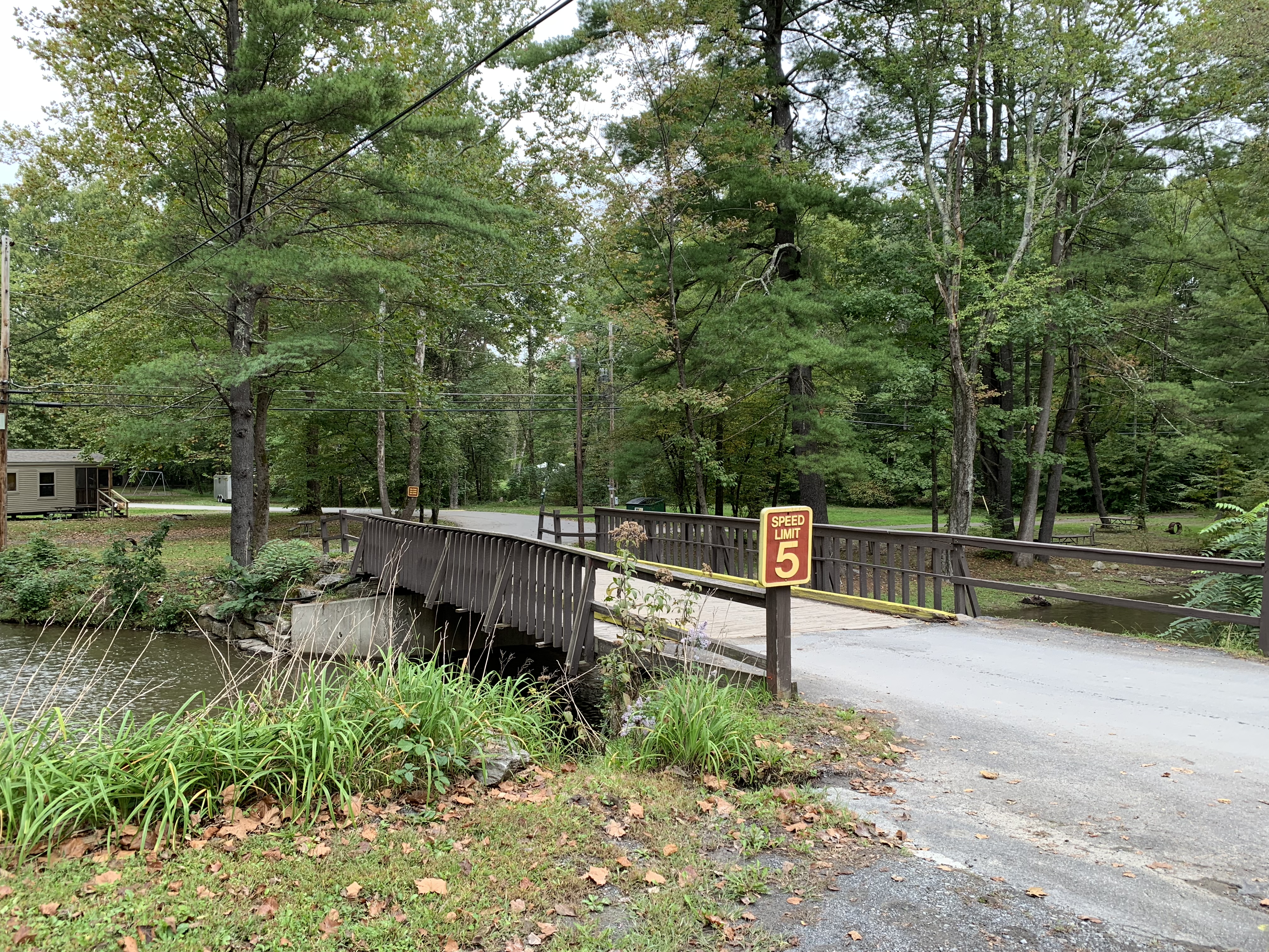
I had spent enough time studying the rockhounding book to know that the 14-day camp area on BLM land adjacent to Plomosa Road would be a good, free location to camp that was central to several other rockhounding sites. With that mind, when I got into Quartzsite I turned north on route 95 toward Parker, then made the right turn onto Plomosa.
Plomosa is a paved road that runs between route 95 and the small town of Bouse. The camping area stretches along the road to the north and south, limited mostly by a few washes and sandy areas that RVs can’t easily get through. There were a lot of RVs already parked out there and I didn’t want to be near any of them. So I headed out on Plomosa, planning to park somewhere beyond the throng.
My plans were dashed, however, by a sign on the road that said, “No Overnight Camping Beyond this Point.” Crap.
I turned around and pulled off the road the first place I could. Okay, I thought. I’ll go north in the desert beyond all of these people.
Dashed again. Another series of signs about 1/4 mile into the desert that said the same thing. They basically formed a barrier beyond which the BLM simply didn’t want you to camp.
Fine. I parked 50 feet in from one of the signs. I was on the edge of the camping area with no one anywhere near. That would have to be good enough.
I disconnected the trailer, then pulled the truck and camper around so the door of the camper was at a 90° angle to the back doors of the trailer. Then I dropped the camper legs and pulled the truck away. I set up the saw horses under the camper, since I expected to stay for more than just a few days and wanted it as stable as possible.

Here’s how I set up my camp on Plomosa Road. I use the saw horses any time I expect to stay for more than a few days.

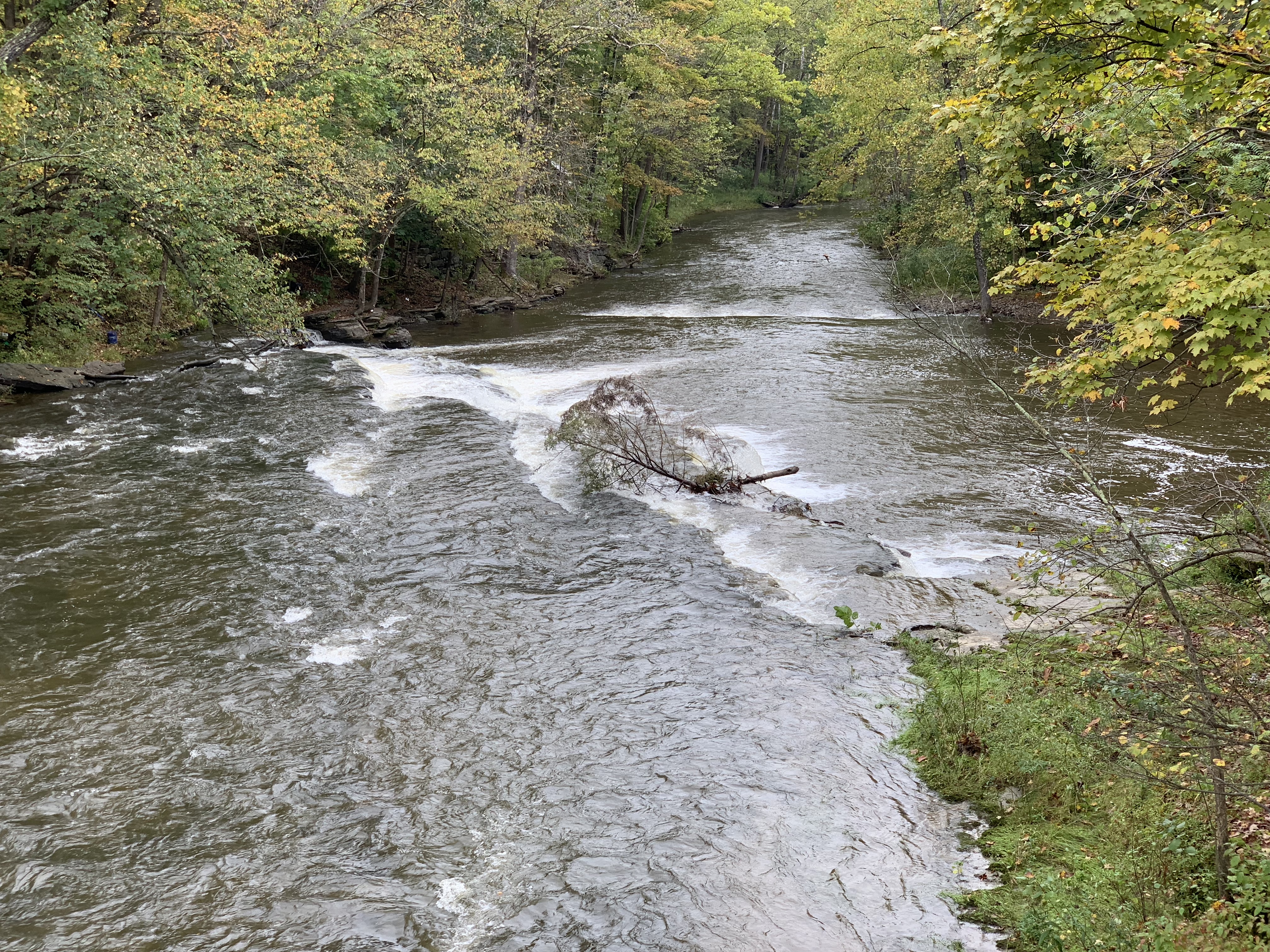
Here’s an aerial view of my Plomosa Road campsite, snapped with my drone before the camping area got crowded. My camp is at the bottom; this shot looks southwest.
By this time, it was late afternoon and I was done for the day. Mother Nature rewarded me with a beautiful sunset.

Sunset from my campsite on Plomosa Road.
I made myself a quick dinner, relaxed, and was asleep before 9 PM.
More Rockhounding
In the morning, Penny and I got an early start on a rockhounding trip to two sites farther up Plomosa Road toward Bouse. The first site — or group of sites — was called “Plomosa Road Minerals” and promised quartz, jasper, agate, calcite, and other stones I knew could polish up nicely. And the directions seemed clear enough, even offering a mile marker on the road as a landmark.
But it wasn’t that easy. When I got to the mile marker, it wasn’t clear which road I needed to turn at. It was another BLM camping area and there were dozens of people camped out there. There were far more roads than the directions indicated.

I spent too much time looking for rocks and not enough time taking photos of the desert around me. Here’s one of the photos I did stop to take.
I did my best to find Site A, which was the closest and seemed to be the easiest to find. But it wasn’t clear where I was supposed to go. I wound up parking near a mining claim on a hill and wandered around far enough away that I wouldn’t violate the claim. (At least I tried to.) I found a handful of stones that looked interesting, although I have no idea what they are.
I tried to find Site C next and failed miserably.
When I tried to find Site B, following the instructions to the letter, I got lost when it said to head toward “a small mountain range” and there was no mountain range anywhere near or in front of me.
Then I decided to try using the GPS coordinates provided in the book to zero in on a site. They were presented in degrees with decimal minutes — for example, 33° 49.78′ N and 114° 03.95′ W — and I needed to convert them to decimal degrees to enter them into Google maps on my iPhone (since I still can’t figure out how to type a ° symbol on iOS) — for example, 33.8296 -114.0658. When I entered the coordinates, the pointer showed me a location that was nowhere near where the directions sent me. In one case, the GPS pointed to a location on the other side of Plomosa Road from the location indicated on the piss poor map in the book.
I checked the book’s introduction to see why the coordinates might be off and found this paragraph [my comments added]:
This edition provides GPS coordinates to assist with finding the sites. Coordinates were taken using a DeLorme Earthmate GPS PN-20 [perhaps pre-WAAS?] and/or supplied by David A Kelty, author of The GPS Guide to Western Gem Trails [which is probably the book I should have bought]. It is important to understand, however, that determining exactly where to take the reading is a little difficult [How so? Find a rock, take a reading. Seems simple to me.] and might actually be misleading [ya think?]. In some cases, if a site is quite extensive, an approximate mid-point coordinate is given [which makes sense]. In other spots, due to mountain or canyon wall interference, a GPS reading was taken and then either confirmed or modified [?!] using a computerized mapping program. Please do not think the the GPS coordinates will place you exactly on top of the absolute best part of any given site. [I don’t expect that, but I do expect them to match the directions and get me to the rocks.] They are provided only to assist in confirming that you are at or near [within a few miles, apparently] where you should be. The maps [which are NOT to scale] and driving instructions should be your primary source of information in regard to site access [so you’re pretty much screwed because those stink].
As my inserted comments indicate, I was starting to realize that the book was not to be relied upon. Although revised in 2009, I suspect that the author didn’t make much of an effort to visit every single site in the book. That would explain the unclear directions, erroneous GPS coordinates, and crude, inaccurate maps.
Still, I’d done okay with the Brenda site. Maybe this group of sites was a bad one. I’d try another: Bouse Hematite & Jasper. This one provided instruction from Bouse that included a cattle guard as a landmark. To make sure I had the right cattle guard, I drove all the way into Bouse. While I was there, I had lunch at a cafe — the only one in town. Then I was back on the road, following the directions.
I knew there would be a problem when the directions said to turn right 0.3 miles past the cattle guard and there was no turn there. Instead, there was a turn at the cattle guard. I turned. I tried to follow the directions and I think I may have gotten close. But there was nothing worth picking up when I finally stopped for a look.
By that time, I was pretty much done and started heading back to the camper. Along the way, I caught sight of an old mine off in the distance. When I found a road that might take me close, I followed it. I parked the truck in a turnout just before the road descended into a sandy wash. Penny and I got out to walk around. I eventually found a handful of stones that may have included jasper and chrysocolla. The mine sites were really nothing more than survey sites. We got back in the truck and headed back.
When we reached the camper, I discovered that a group of about 10 fifth wheel campers had parked nearby. I’d be listening to their generators whenever I was at camp for the rest of my stay.
Moon Mountain
The next day, I went into Quartzsite for propane and water. It had been cold at night and I was using my heater. Just because I’m camping doesn’t mean I need to be uncomfortable.
But I also thought I’d take the opportunity to try to find one more site from the book: Moon Mountain Petrified Wood. This site promised petrified wood, agate, and jasper. If I found it, I felt I could trust the book for more rockhounding. If I didn’t, I figured I’d stow the book in a cabinet for the rest of the trip.
The search started off bad. It directed me to Avenue 24E or Moon Mountain Road. There was no Avenue 24E in Quartzsite but there was a Moon Mountain Avenue. Unfortunately, Moon Mountain Avenue ends with a roadblock and a few tentative 4×4 trails into a sandy wash beyond. I turned left and then made a right onto a road that seemed to go the same place as Moon Mountain Road on the book’s crappy map. It was called Boyer Road and later called Boyer Gap. I followed it along a bumpy graded road heading northwest into the empty desert. The book told me I’d be heading toward “distant cliffs in the northwest” but the only rise I saw out there was what looked like a small mountain range and it was very far away. Was I on the right road?
I continued bumping along until I found a fork in the road that may have been the one in the book. I kept right. The road got worse. The book’s directions said to “continue approximately 9.5 more rough and sandy miles.” I was driving at about 15 miles per hour. The thought of spending more than 30 minutes bumping along a road that may or may not be the right one and may or may not take me to a viable rockhounding site was depressing. I tried plugging in the GPS coordinates and it told me I was going the right direction. But Google Maps satellite view didn’t show any kind of road at all where the coordinates were.
Was this another wild goose hunt?
It could be.
Did I really want to drive all the way out there and not find what I was looking for?
No. I turned around and went back.
At Camp and Beyond
I filled my propane and water bottles back in town and went back to camp. There were more RVs parked nearby. In fact, the camping area was really starting to fill up. This didn’t surprise me much. Quartzsite’s peak time for winter visitors was during the big RV show that ran (this year) from January 19 through 27. It was January 13, a week before the craziest part of the month would begin. The desert dwellers were beginning to arrive in force.

One of my camp chores was to pull all the nails and other metal debris out of the fire pit I drove over when I parked my camper. (I honestly didn’t see it.) I bought a high-powered magnet in Quartzsite just for the task. I got this is what I got the first time I worked the pit; I got the same amount when I did it again a few days later in preparation for getting the camper back on the truck.
I did camp chores: topping off my water supply, installing the filled propane tank, taking out my portable barbecue grill to grill up some more of the ribs I’d smoked at home and brought with me, vacuum sealed and frozen. I took it easy. I wrote blog posts — I was terribly behind in my trip reporting (and still am).
I also took out my drone and sent it up for a few flights to document the RV-filled desert around me. I was in Quartzsite to do drone photography (again) although I really wanted to do more work with my jewelry. I did finally spend some time making a few pendants.

Here’s a look west down Plomosa Road just after dawn one day. The desert was just starting to fill with RVers.
On Monday, Penny and I headed up to Parker. I needed to do laundry before the RV show started, since once I was set up in the big RV show tent I didn’t think I’d get much time to take care of things like that. I figured I’d also do some grocery shopping, get some documents printed, and then head down to Ehrenberg to check for mail. A neat little loop. That took most of the day. Although I really like the laundromat in Parker, the number of winter visitors competing for washers and dryers makes doing laundry almost a blood sport.
That afternoon, after we got back, it started to rain. Hard. I love a good desert rain, but this was more of a deluge. Visibility dropped to less than a quarter mile and the mountains around me disappeared. So did a lot of the RVs. The desert me, which was mostly flat there with a slight slope, developed pools of water that flowed like little streams anywhere it had flowed in the past. It kept me and Penny inside the camper for the rest of the day.

The view out my back door at the peak of the rainstorm.
A Day in Quartzsite
The next day, I headed into Quartzsite for my meeting with the RV show owners. I’d be doing some drone photography for them and they wanted to make sure I knew exactly what they wanted. After chatting for a while inside the big toy hauler they were using as an office, I went out with Kenny in a golf cart to tour the rain-soaked venue.
The big RV show tent had gone up while I was in the Phoenix area or Wickenburg. This really disappointed me, since I was hoping to create a time-lapse movie of its erection. After all, how often do you see men raise a 65,000 square foot tent? It would have made such a cool movie. Maybe next year?
At that point, they were putting the finishing touches on the interior of the tent, which Kenny drove right into. I got to see where my little 10×10 booth would be. I got to think about how I could get aerial footage inside the tent without violating FAR part 107 — specifically, flight over people. Show management was expecting huge crowds on Saturday morning and they wanted to make sure I was able to show just how busy the show was.

Here are some of the stones I bought that week.
Afterwards, I headed over to Tyson Wells, which was between shows. The rock show had just ended on Sunday and Sell-A-Rama was due to start on Friday. My friends Janet and Steve would be out in a day or two to start setting up for the next show. The weird thing about Tyson Wells is that if you’re signed up for two consecutive shows and have the same spot in both shows, you can keep your booth open on that week between shows. So about half the venue had open booths. Before the week was out, I’d do my big stone shopping trip, buying more than 70 cabochons from my favorite shop.
On To My Next Destination
On Wednesday morning, I packed up my camper, put it back onto my truck, and connected the trailer again. It was time for a little “luxury” — a sort of full hookup campsite at the RV show in Quartzsite. As I drove away from the now crowded camping area, I wondered how long it would be before someone else slipped into my vacated spot in the desert.