The day I learn just how big Canada’s Okanogan wine country is.
– Day 1: The Road to Mazama
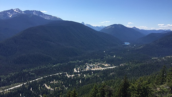
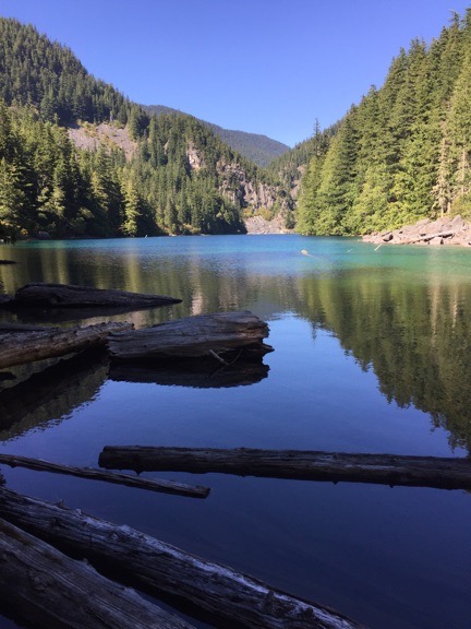
– Day 2: Mazama to Colonial Creek
– Day 3: Colonial Creek to Baker Lake
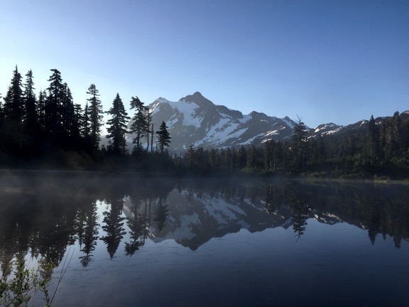
– Day 4: Baker Lake to Mount Baker
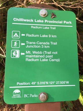
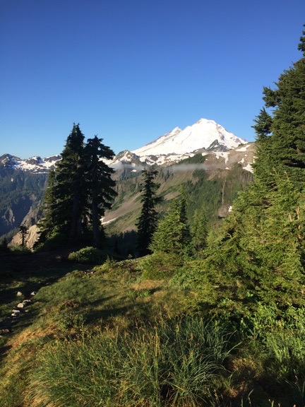
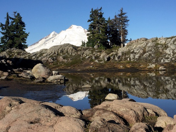
– Day 5: Mount Baker to Chilliwack Lake
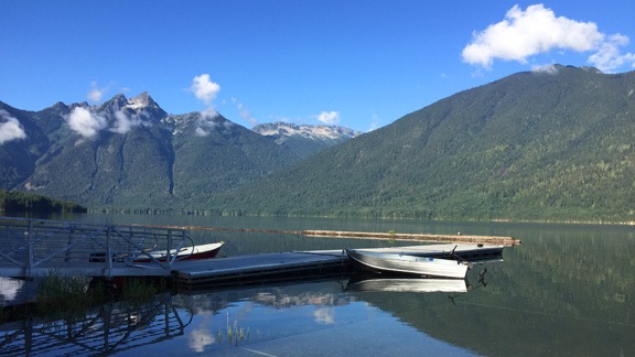
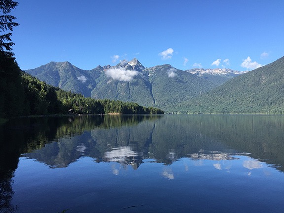
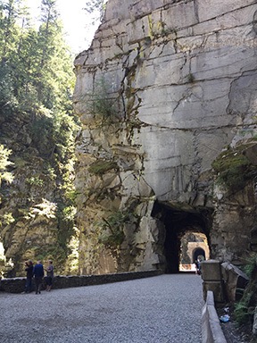
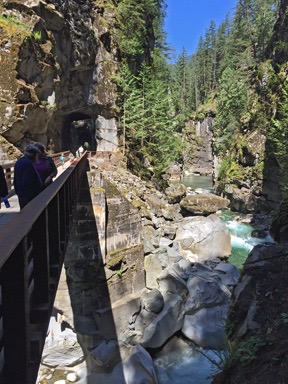
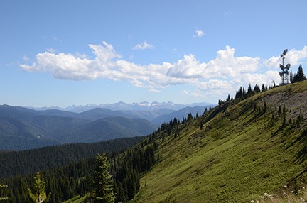
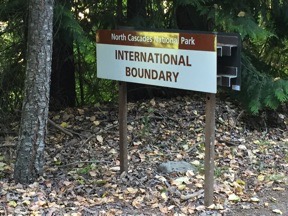
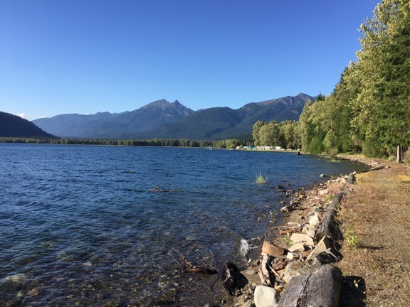
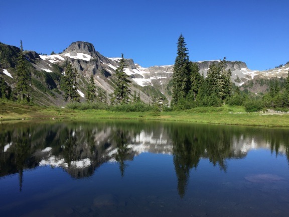
– Day 6: Chilliwack Lake to Hozomeen
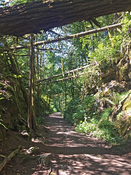
– Day 7: Hozomeen to Copper Creek
– Day 8: Winetasting My Way Home
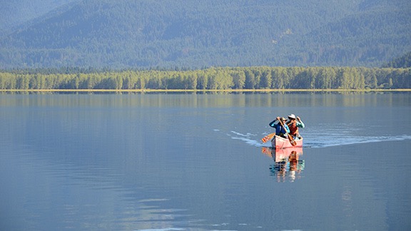
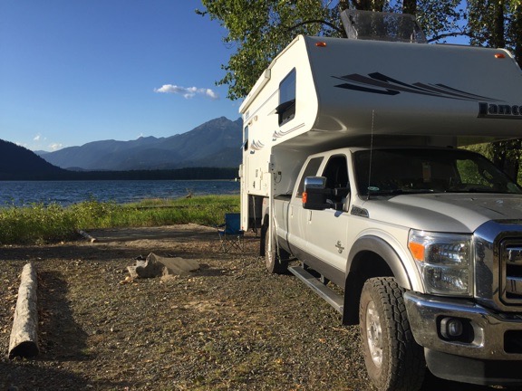
I woke up not long after dawn, although it was a while before the sun would shine down on the Turtleback. I finished up the Day 6 blog post while I was having my coffee. No attendant had come by to collect my $12 camping fee, so by the time Penny and I rolled out at about 9 AM, we’d had our fifth free night of camping.
We got back on the main road (Route 3 AKA Crowsnest Highway) and headed toward Princeton, where I stopped for fuel. That’s where I learned that in Canada, green pump handles do not mean diesel; yellow pump handles do. I had to cancel a transaction and move the truck before I could fuel up. (I really do need to pay closer attention.)
The road continued along the Similkameen River and I have to admit that a full week later (as I write this) I don’t remember anything terribly interesting about it. (This is why I really need to write up my trips promptly.) I do recall it being a pleasant enough drive without much traffic.
Hedley
My canoeing friends at Hozomeen had highly recommended taking the tour offered by the First Nation People of the mine high above Hedley, so when I saw signs for that town, I turned in. I parked across the street from the Visitor Center/Museum and, leaving the windows open for Penny, took a walk around to see what I could learn about the tour.
There was a gift shop in what looked like an old house with a sign proclaiming it had “extraordinary gifts for extraordinary people” and I went in to check it out. It was a disappointing collection of the same tourist shlock you’d find in any area gift shop, most of it Chinese made, although there was a collection of supposedly locally made goat milk soaps. The place was for sale and the guy behind the counter, who probably owned it, was obviously not interested in replenishing any stock he sold; the shelves were half empty. He did have a decent collection of books and maps, though, and if I was still buying that kind of stuff, I probably would have bought a few.
Outside was a farmer’s market consisting mostly of a few vendors selling peaches. A duo performed live music on the gift shop’s porch; he played guitar while she sang off-key, doing an especially bad job on a Janis Joplin song. Nearby was a roadside restaurant that was open but also had a For Sale sign on it.
It was not a very uplifting spot.
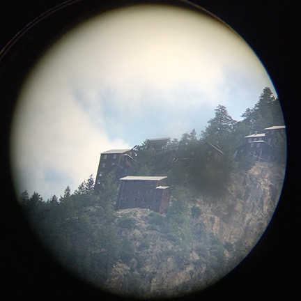
Mascot Mine, shot through the telescope.
There were no signs around for any tours so I decided to check out the museum, which was also in an old house. I got about two steps onto the porch before a young woman from just inside the door approached me and asked me if I’d like to know about the town. Sure, I told her. So she told me about the town’s history as a mining community and pointed out the Mascot Mine site perched at the top of a nearby mountain. A small telescope had been set up and aimed right at it, so I could look through and see the buildings. Before those buildings had gone in, miners had to hike up there every day. There was a lot more, but I honestly don’t remember it. The young woman was knowledgeable and friendly and could answer just about any question I had.
When I asked about the mine tours, she said they were closed for the season — in the first week of August? — and she wasn’t sure if they’d ever start up again. That seemed a real shame because the tours appeared to be the only thing of real interest in the town. The museum was interesting, but unless you’re a real history buff, it isn’t worth stopping for.
I did walk through the museum and look at the exhibits. That’s where I saw photos of all the buildings in town that had burned down or been washed away by floods over the years. No wonder there wasn’t much going on in town.
There was a cafe in one room and I ordered a piece of pie. I sat out on the porch to eat it, chatting with the young woman and an older woman who I suspect might have been her grandmother. Then the phone rang and the older woman was called away. Two other tourists stepped onto the porch and the history lecture began again for them.
I threw away my paper plate and headed back to the truck. I took a slow drive through the downtown area, hoping to see something of interest and came up empty.
So I got back on Route 3 and continued on my way.
Fruit Stands and Wineries
It wasn’t long before I reached Keremeos. That’s where traffic picked up and the fruit stands began. I don’t think I’ve ever seen so many. I stopped at the first one, not expecting to see many more, and bought some very ripe apricots. Back in the truck, I passed one after another.
I paused to look at the Wine Country brochure I’d picked up in Hedley. That’s when I discovered that the Okanogan Valley between Penticton and the U.S. border was just crammed with wineries. It was like Napa Valley. I’d known there were wineries there, but never expected that many.
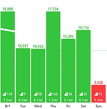
Guess which day I went wine-tasting? I grabbed this screenshot the next day, after all my steps had been tallied.
It was Sunday and I figured I may as well have a day of rest after my week of daily hiking. So I picked out some wineries to visit: Seven Stones, Burrowing Owl, and Road 13 (recommended by a Facebook friend).
Seven Stones has a small tasting room with an outdoor patio overlooking the Similkameen River valley. But their draw seems to be their “wine cave,” which is where the wines are stored. After letting Penny out for a quick run and to meet the winery dogs, I put her back into the truck and went inside for a tasting. The tastes were tiny — barely enough to really taste the wine. (I understand that they don’t want people to get drunk, but I need two sips to get a good taste of a wine.) I asked what the area specialized in and was told “reds.” Not a specific grape — just “reds.” Okay. I wound up buying one bottle each of Merlot and Meritage. (Unless the wine is awful or the staff is rude, I always buy wine when I go to taste.)
I should mention that the whites were good, too — nice and dry, the way I like them — but since I rarely drink white wine and have accumulated quite a collection of it, I’ve decided not to buy any, no matter how much I like it. I really need to drink (or serve) what I’ve got before I buy more. White wine just doesn’t last as long as reds do.
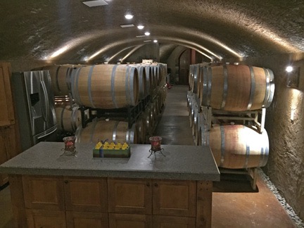
The wine cave at Seven Stones Winery.
I asked about the famous wine cave and was told that they do tours for $7 per person. What the hell; I was on vacation. So I paid for my wine and the tour and the woman who’d done my tasting took me out back where a spiral staircase wound down into the base of a tower. Through a door was a basement room with a kitchen area and some stacked wine barrels. My tour guide told me they have cave tastings and other events down there. Through another door was a larger room with many more stacked barrels. An open elevator large enough to accommodate a loaded forklift stood against one wall; a very nice mural of the seven stones of the area (which give the winery its name) decorated the elevator shaft. It was all nicely done and very pleasant and the smell of wine was heavy in the air. It was apparently the only wine cave in the area. It was more of a basement than a cave but I don’t think “Tour our Wine Basement” would be quite as impressive on signs.
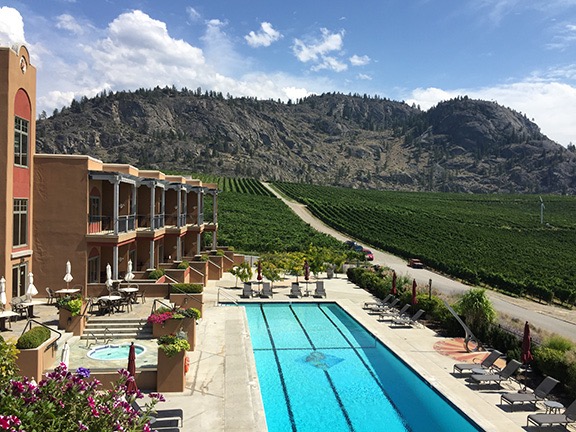
My seat on the deck at Burrowing Owl gave me a nice view of the Guest House facility. If a room had been available and they were dog friendly, Penny and I would have spent the night.
Back at the truck, I gave Penny another chance to run around. Then we loaded up and headed out to our lunch destination: Burrowing Owl Estate Winery in Oliver. This is quite a place, with a large tasting room, restaurant, and “guest house.” It reminds me of a cross between Cave B in Quincy and Tsillan Cellars in Chelan. I was hungry — I hadn’t eaten since breakfast and it was well after noon. I left Penny in the truck with the windows open and went into the restaurant. After washing up, I was seated out on a deck overlooking the valley. The host who sat me commented on how great the view was; I didn’t tell him that the view off my own deck at home was a lot better.
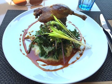
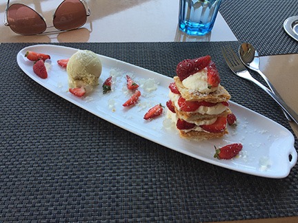
My lunch: duck (top) and Napoleon (bottom).
I had an amazing meal. After a week of camping and eating simply prepared food mostly from my garden, it was a real treat to have food that took flavor combinations into consideration. I started with a salad special that combined greens with beets and goat cheese and followed that up with the most amazing duck confit (duck leg, cornbread, popcorn gremolata, creamed corn, and baby kale). A glass of the recommended wine, a Syrah, went with it. Dessert was a Napoleon of strawberries, hazelnut puff pastry, and creme fraiche mousse with basil and white chocolate ice cream. (How do I remember this? I’ve looked up the menu online.) It was the flavor combinations that they got so completely right. I’d arrange different combinations on my fork and taste it for a constantly varying result. Wow. This was, by far, the costliest part of the trip — my lunch cost nearly $75 US — but it was so worth it.
After lunch, I went to the tasting room and tried four wines. I would up with a bottle each of the Syrah and Merlot. A required $5 tasting fee supposedly went to a fund to protect burrowing owls, which, ironically, they didn’t have on the property.
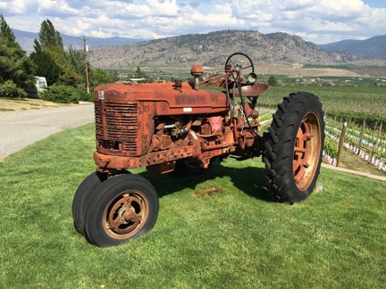
One of the two tractors outside of Route 13 Vineyards. As you can see, the terrain in the area is remarkably similar to where I live, which was only 3 hours away.
My last winery of the day was Road 13 Vineyards. This is a dog-friendly place on a hill overlooking the valley, so Penny came in with me. The building has turrets, like a little castle, and big windows to take in the view from inside. Like our local Jones of Washington Winery, they use a tractor as a symbol of their place; it appears on the foil caps over each cork and there are two of them parked outside.
I tasted a few wines and liked about half of them. The one I liked most was way over my budget (of course), but I wound up buying one bottle each of Merlot/Syrah and a red blend. Oddly, when I asked what the area specialty was, the response was simply “reds.”
I might mention here that in each winery, I asked what the policy was for taking wine across the border back to the U.S. In each place, I got a different story. One said two bottles per person and then 23¢ per bottle in excess. Another said one bottle per person and then a tariff based on price so I should keep my receipts handy. The said that all wine was subject to tariff, but it wasn’t more than about a dollar a bottle. Seems to me that this should be a question most wineries so close to the U.S. border should have a correct and consistent answer for.
One More Night? Maybe Not
By this time, I’d had enough wine tasting. In all honesty, I think I’d had enough vacation. I felt a little road weary. I had no real plans for an overnight stop or destination. I figured I’d just head south and get back into the U.S., then decide what to do.
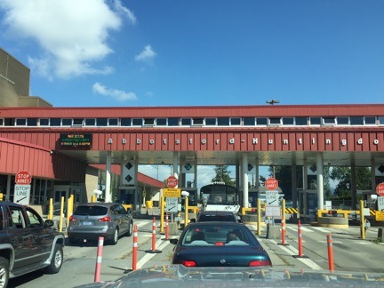
So we headed south,crossing the border at Osoyoos, BC, just north of Oroville, WA. There was no one on line ahead of me. I stopped and handed over my Passport Card. There were two people in the booth, a woman and an older man. I soon realized that the woman was training the man.
He asked me where I lived and I told him Malaga, near Wenatchee. He asked how long I’d been in Canada and I told him just a few days. He asked where I’d been and I told him various parks along the southern border of BC. Then I named them. He asked if I was bringing anything from Canada into the U.S. I told him I’d bought six bottles of wine. He consulted with his companion and she signaled that it was okay. He then asked about farm produce and firewood. I said I had some of both on board but I’d brought them from the U.S. (I’d eaten all the apricots on my drive.) Then he just gave me back my card and waved me through.
We were back in the U.S.
I drove south on Route 97, through Oroville, Tonasket, Omak, and Okanogan. This was all new territory for me — I’d never driven this stretch of road, although I had seen Omak and Okanogan from the air back in 2008 when I had orchards to cover there during cherry season. It wasn’t a terribly interesting drive. I think it was because I was tired. It was after 5 PM and I’d done a lot of driving with just enough wine tasting to make me mellow.
By the time I reached Lake Pateros near Brewster, I was ready to stop for the night. But I was also less than two hours from home. Part of me wanted one more night of vacation while the other part of me was looking forward to a long, hot shower and my own bed.
Still, when I reached the junction of route 17, I headed south instead of continuing west. I was lured by the camping icon on the sign for Bridgeport State Park. One more night.
But when I got to the park, I found a typical state park campground: small sites relatively close together, few sites with hookups, nothing appealing. It was a park parking lot. And although I was tired enough to accept that, I couldn’t accept the price tag: $35/night for a site with no view, privacy, or hookups. Seriously, Washington? Asking so much money for an overnight parking spot was borderline obscene.
And this makes me wonder exactly why people go “camping” in places like this. What is it that they think they’re getting for their money? I can’t figure it out. Other than a piece of asphalt that’s likely to be level, a picnic table, and a fire pit, there’s nothing there. Well, maybe they had flush toilets. But is that worth $35/night? I don’t think so.
But maybe I was spoiled. I’d camped in some pretty nice spots during my seven nights on the road and had spent a total of $34 on camping fees.
Anyway, I turned around and left. Then I asked Google to find me a route home and followed its directions over the Waterville Plateau. There was no traffic until I got to East Wenatchee.
I was home before 8 PM.
And that shower felt heavenly.