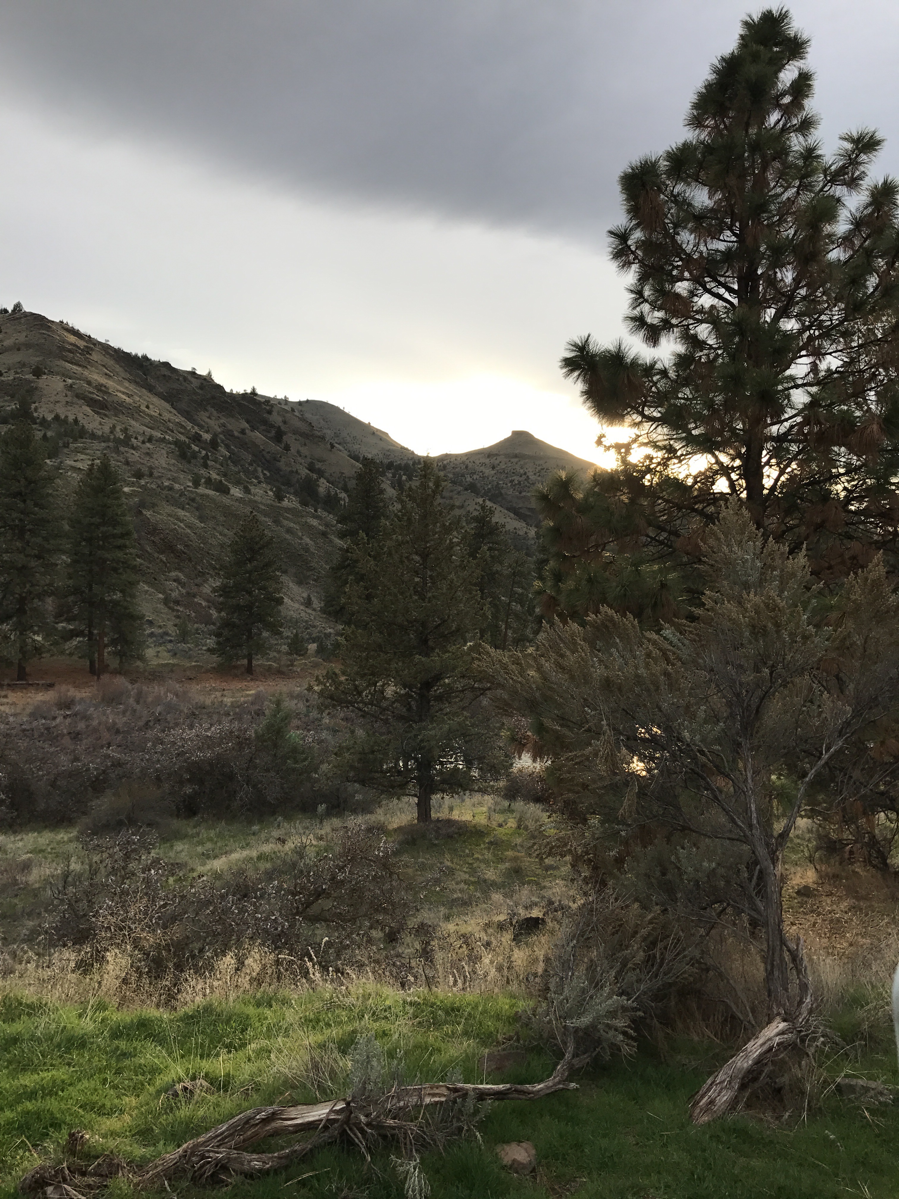
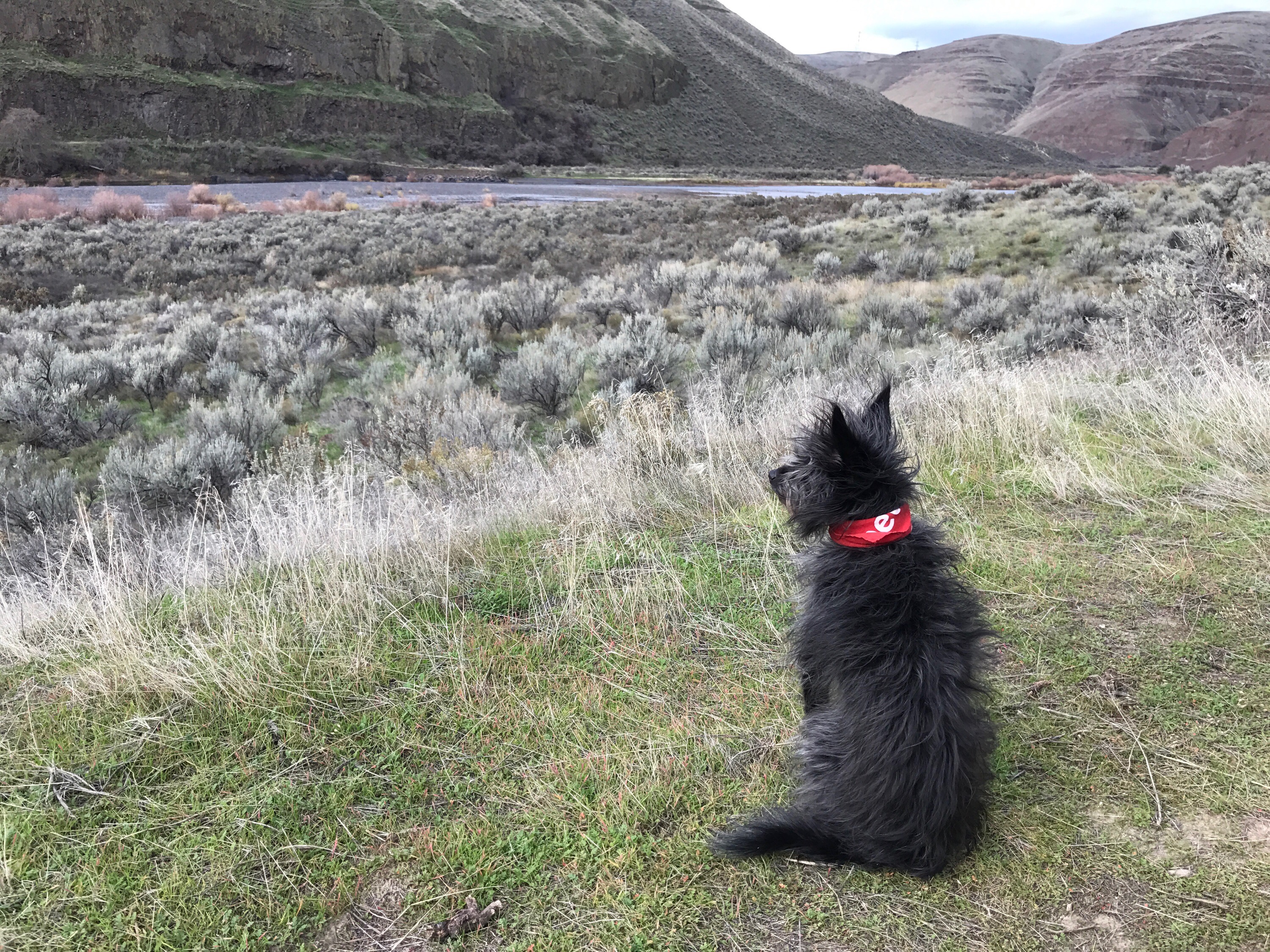
When I went hiking at Cottonwood Canyon on Thursday, I met another woman hiking with her dog. We stopped for a brief chat about hiking and photography — she had a DSLR camera with her, too. During the conversation, she mentioned an overlook she had stopped at while in the John Day Fossil Beds Monument, which is where I was heading. She didn’t know the name of it and her description was very vague but I believe I found it the next day: the Mascall Overlook.
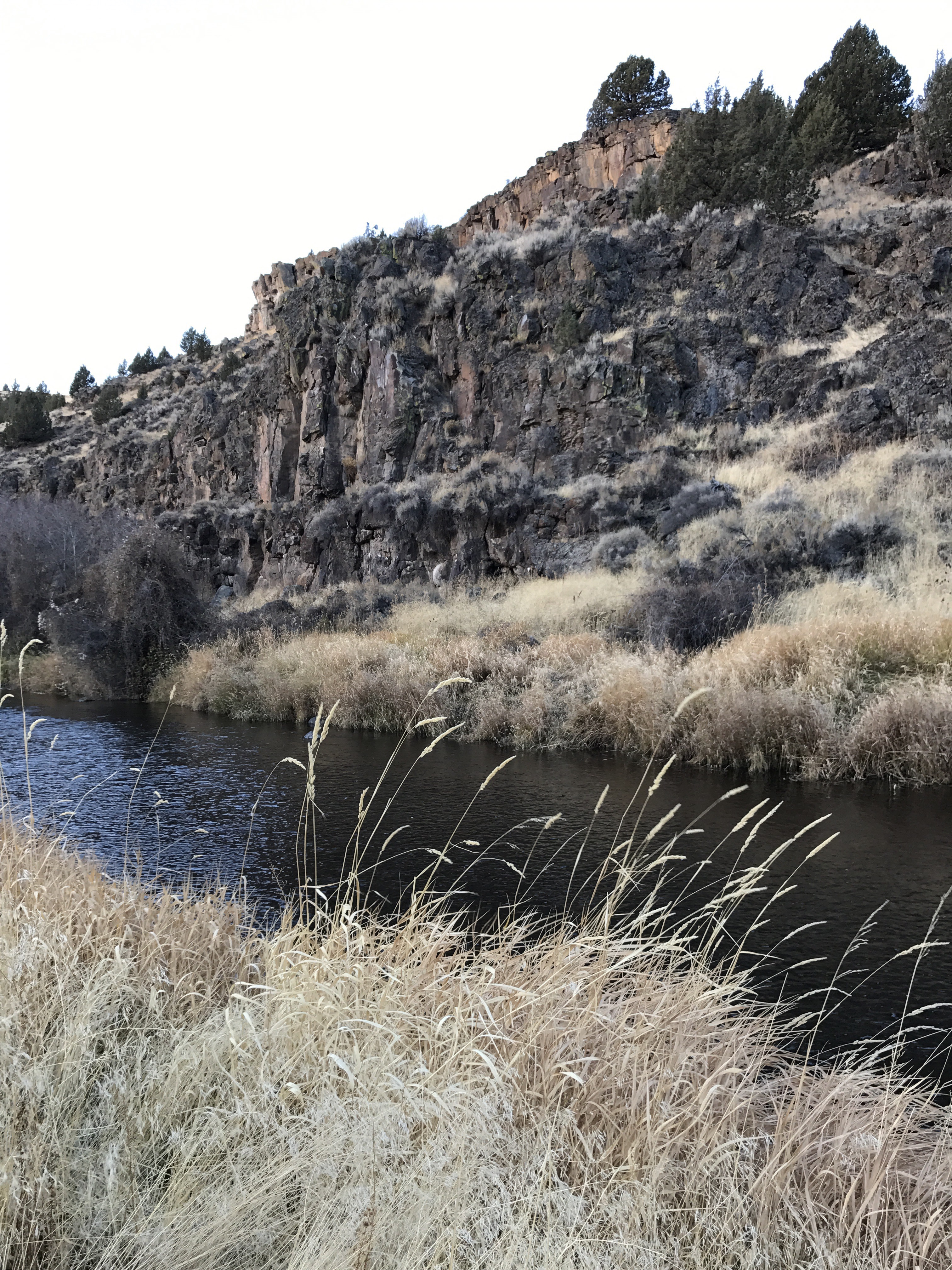
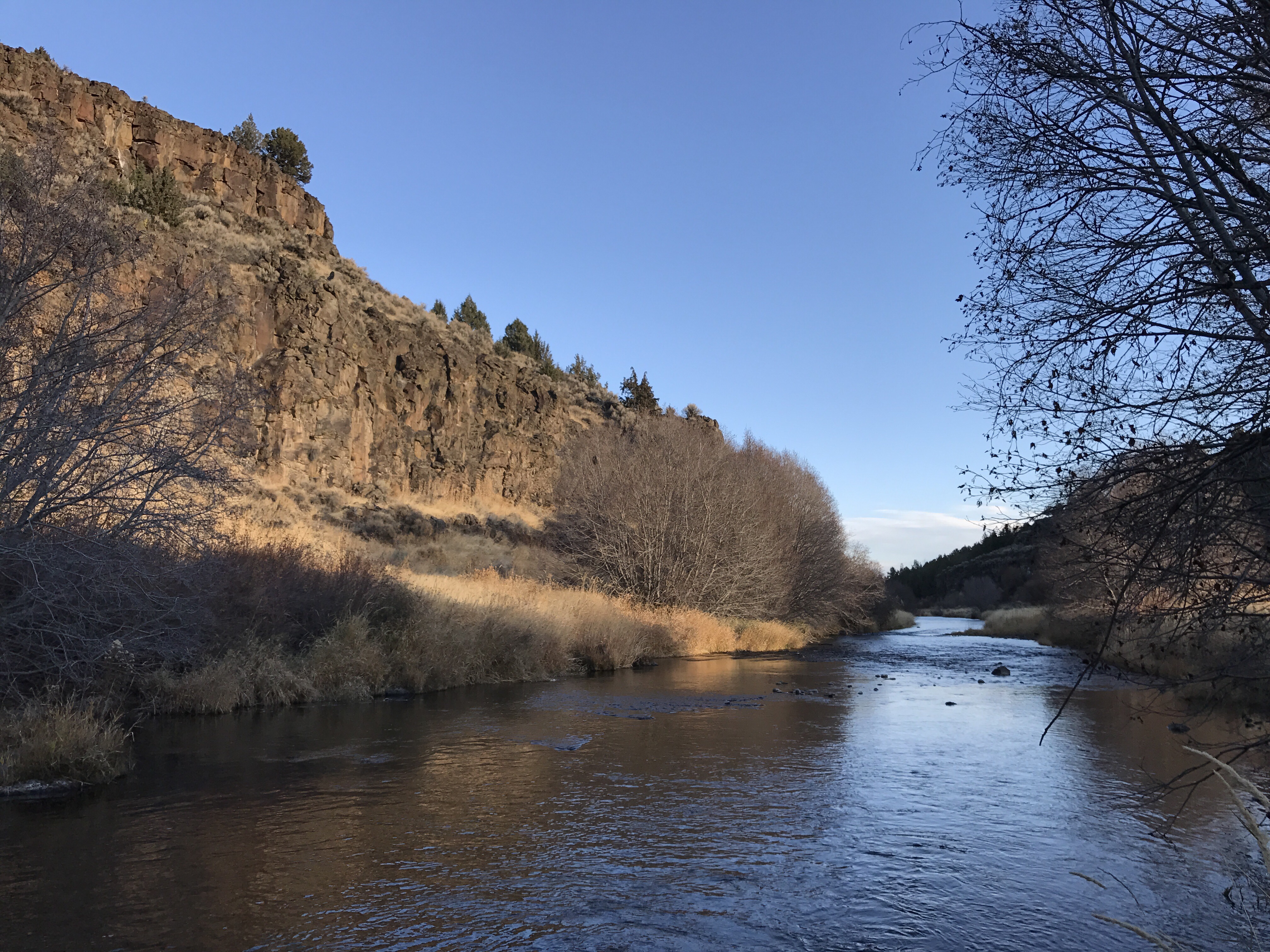
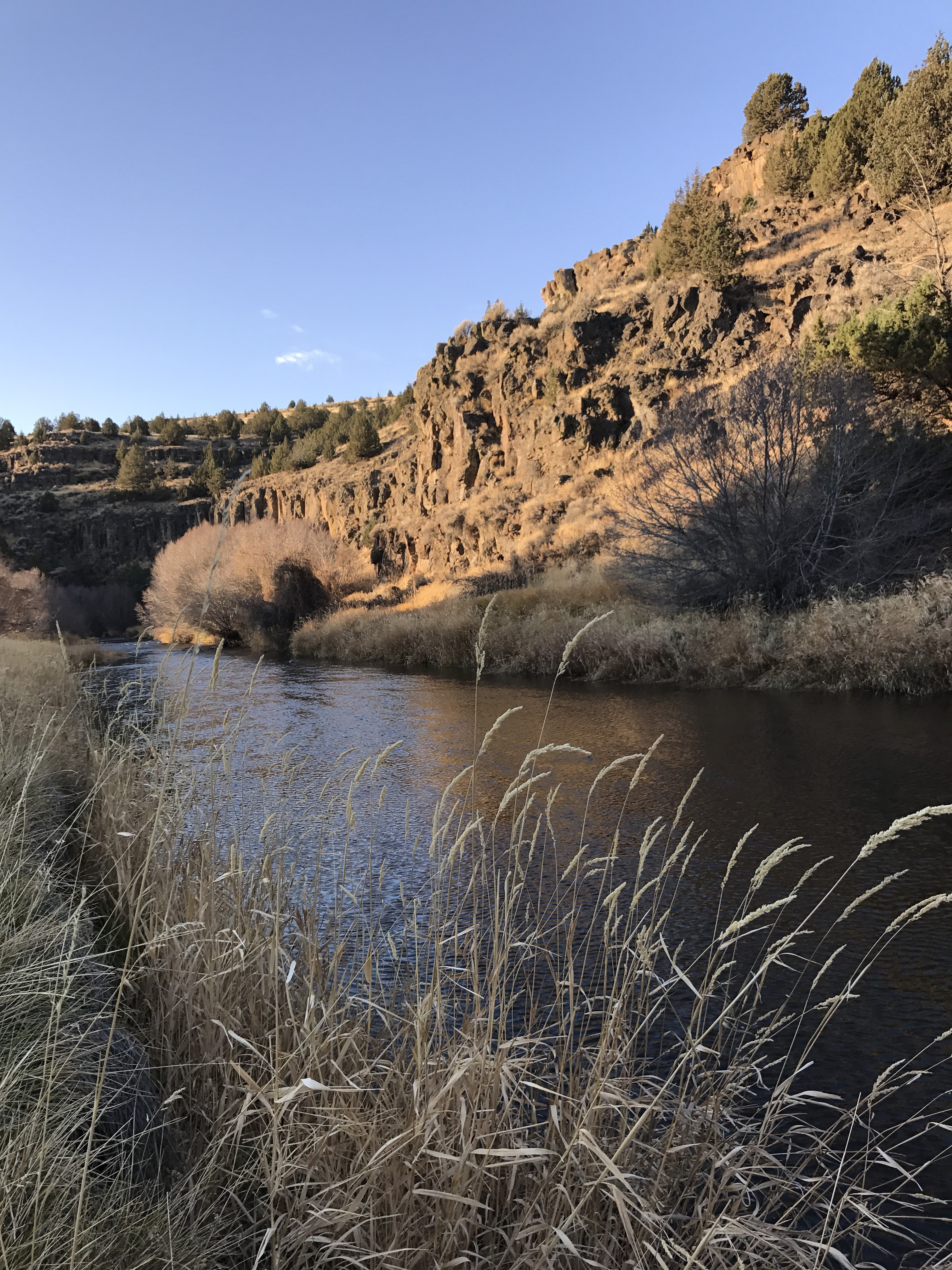
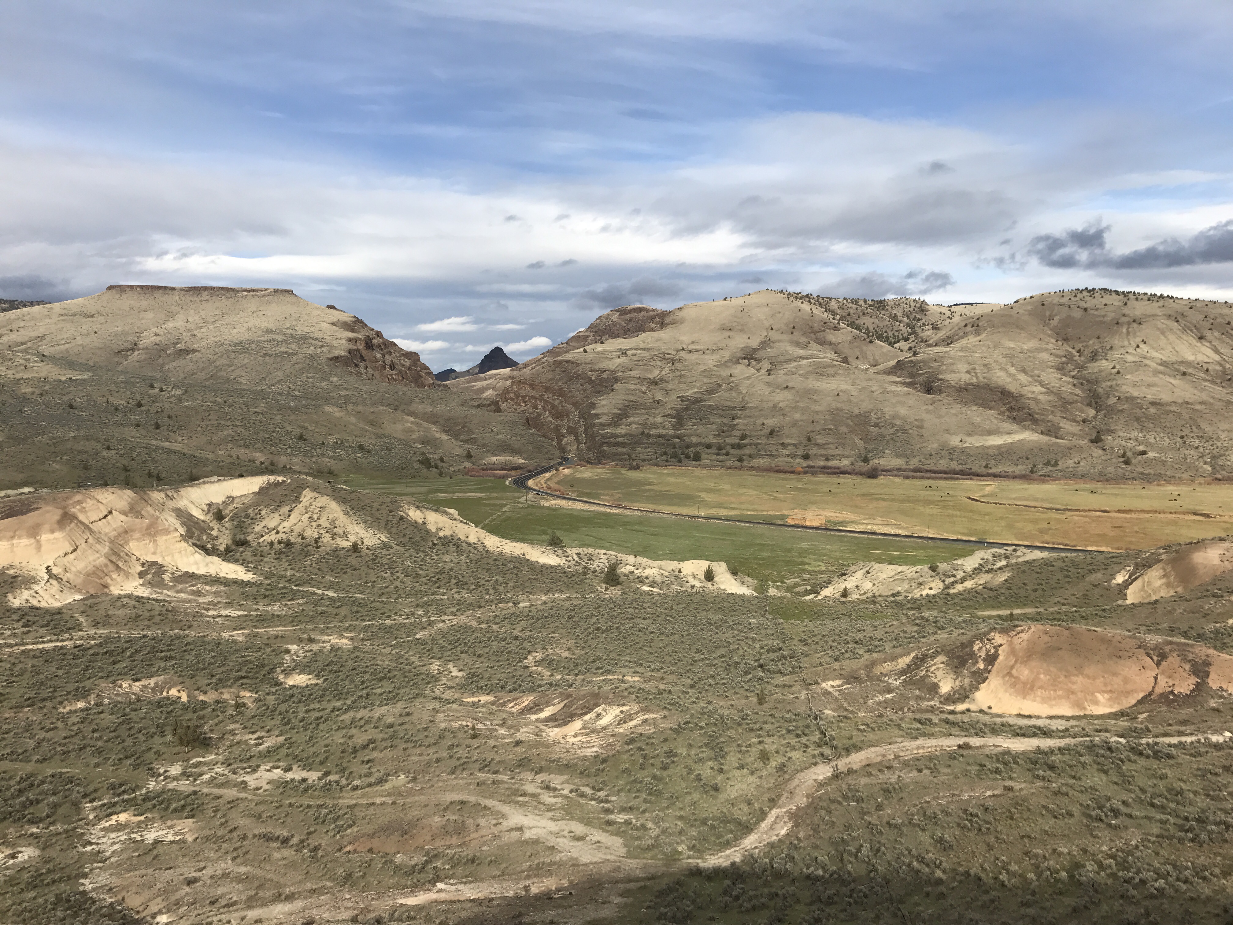
I arrived around mid day, just in time for lunch. The sky was mostly cloudy, but the sun was making its way through here and there. I was hungry and decided to have lunch first, so I hopped into the Turtleback and reheated some leftovers using my microwave powered by the onboard generator. (I can’t deny the convenience of this, despite the three minutes of generator noise.) Afterwards, Penny and I made the short walk to the Overlook and took in the scene. There’s a lot of geology going on here, most of which has to do with basalt lava flows around 15 million years ago — if I’ve got that right. The road in the photo cuts through what’s called Picture Canyon, which was created by the South Fork of the John Day River flowing though over years and years. 17 layers of basalt rock lay exposed inside the canyon.
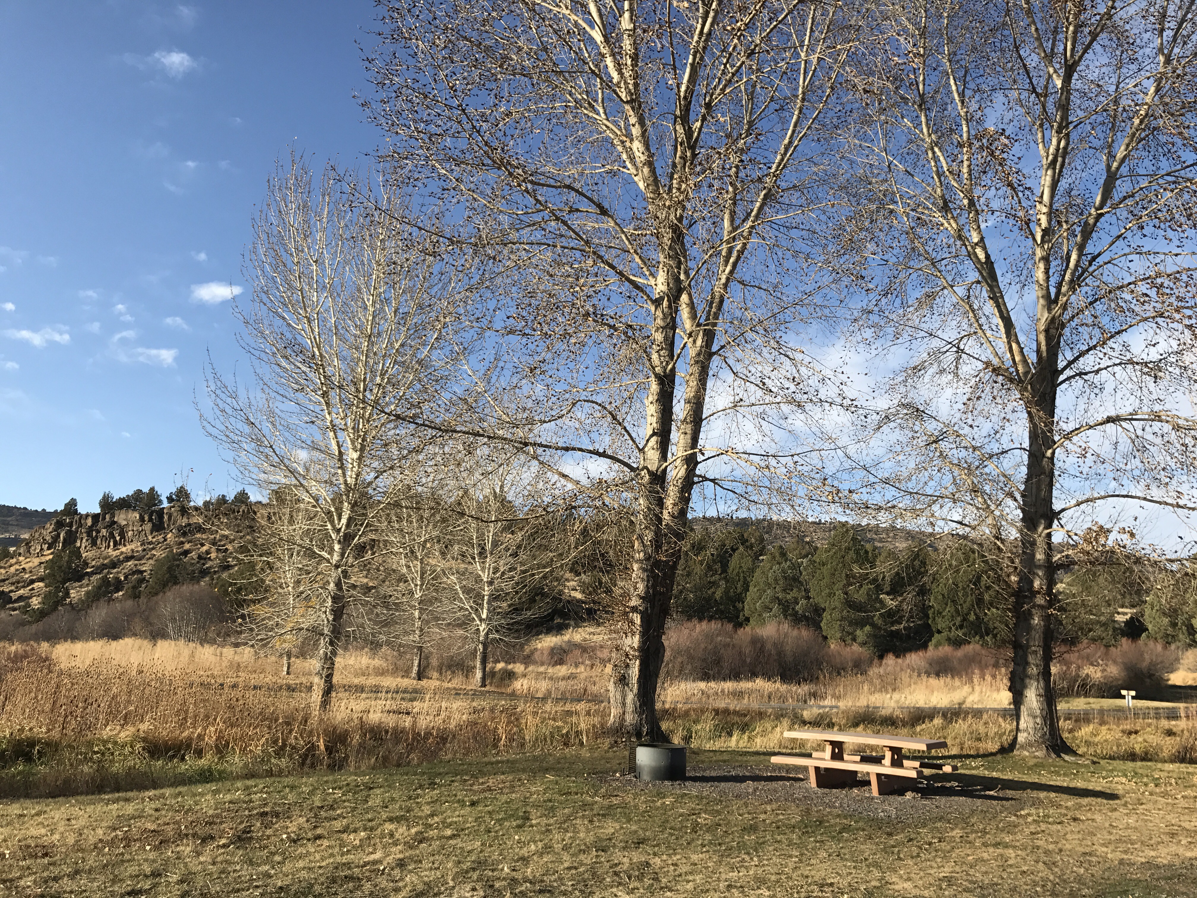
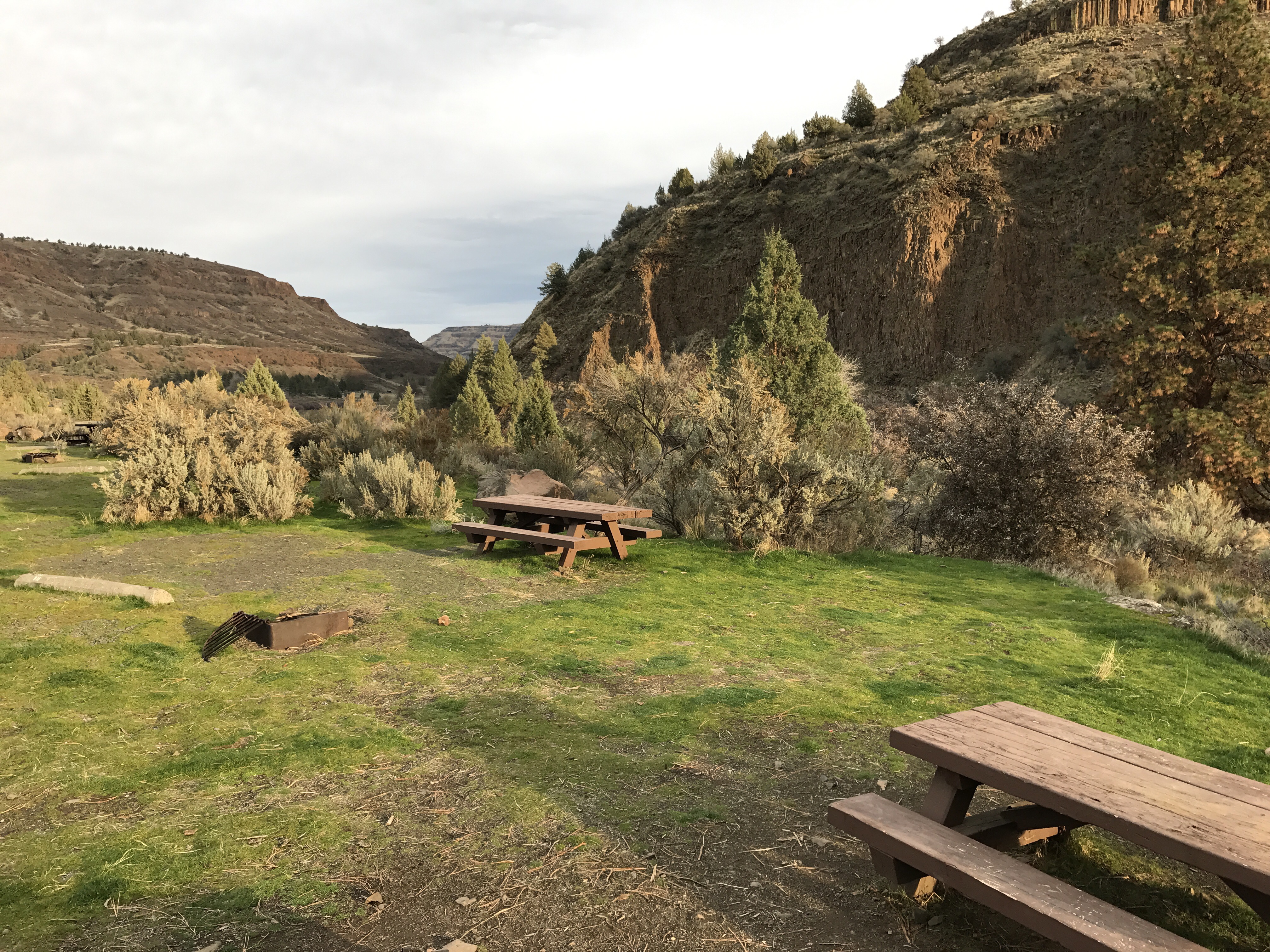
It was an interesting place to stop for lunch in a few photos. Very quiet, yet not far from ranches and homes. I think that’s one of the things I like best traveling with the Turtleback instead of my old Mobile Mansion: I don’t have to worry about getting in or out of tight parking lots or narrow, dead end roads. I can go anywhere.