If you can’t beat them, join them.

The Phantom 4 is a flying camera.
I’ve been thinking a lot about the rise of unmanned aerial systems (UAS), more commonly referred to as “drones,” these days, mostly because I’ve been able to get some good hands-on experience with the prosumer DJI Phantom 4. The Phantom 4 is marketed as a flying camera and I honestly think it’s a good categorization. Clearly it was designed for photography and it has given me a new appreciation for drones, which I don’t generally like.
Drone Threats
As a helicopter pilot, I’ve felt a rather unique threat from the rise of drones (no pun intended). I want to take a moment to explain, mostly because although my general opinion of drones has changed, my views about their threats have not.
Safety
First and foremost are my safety concerns. There are too many drone “pilots” who fly irresponsibly in places they should not be, including near airports and at altitudes that should be reserved for manned aerial flights. The FAA has attempted to reduce the risk of drone/aircraft collisions by setting a maximum altitude of 400 feet for drones. This is far from a perfect solution for two reasons:
- Irresponsible drone pilots ignore the restrictions and fly higher than 400 feet above the ground. I have witnessed this more than once, although I’m glad to report that I wasn’t flying at the time.
- Helicopters generally don’t have a minimum operating altitude so we can fly below 400 feet. Even my Part 135 certificate, which sets some limitations for on-demand charter flights, specifies a minimum altitude of 300 feet — this means I can legally be sharing 100 feet of airspace with UAS with charter passengers on board.
Drones are small. They can fly at speeds in excess of 50 miles per hour. I fly in speeds in excess of 100 miles per hour. That’s a closing rate, for a head-on collision, of 150 miles per hour. Does anyone really think I can “see and avoid” something the size of a 12-pack of beer coming at me at 150 miles per hour?
And if pilots are irresponsible enough to disobey FAA regulations, are they responsible enough to stay clear of aircraft?
Other drone-specific regulations regularly ignored:
- Staying clear of temporary flight restriction (TFR) areas. There have been many reported instances of drones flying around wildfires being worked by firefighting aircraft. In some cases, these violations of airspace have caused the grounding of aircraft.
- Staying clear of other restricted airspace. The one that worries me most is flights close to airports.
- Keeping the drone within sight. That’s not easy to do when the drone has a range of more than 3 miles and it’s so small.
- Not flying over people. I have witnessed this first hand many times at outdoor gatherings.
- Obtaining FAR Part 107 certification for commercial use of drones. This certification helps ensure that drone pilots are real pilots who know and understand FAA regulations and important aviation and aeronautical concepts.
I can go on and on, but why bother? The fact is that although many drone pilots are responsible enough to learn and obey the rules for operating their drones, enough of them aren’t responsible at all. They make pilots — especially low-level pilots like those flying helicopters — worried about their safety.
Economics
The second threat I’m feeling is economic.
I’ll be blunt: over the past 15 or so years, I’ve earned a reasonable portion of my flying revenue from photography and survey flights. Drones are increasingly being used for both roles, thus cutting into my potential market.
I currently charge $545/hour for photo flights. Although I can cover a lot of territory in an hour and give two photographers a platform for aerial photos at the same time, not everyone sees the benefit. For about the same price, a photographer can buy a decent entry level photo drone and get the shots he needs. And then use the same drone another day without a further investment.
Or make a larger drone investment and get a better drone and better camera.
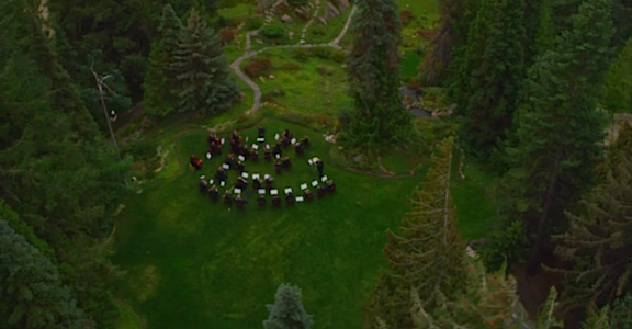
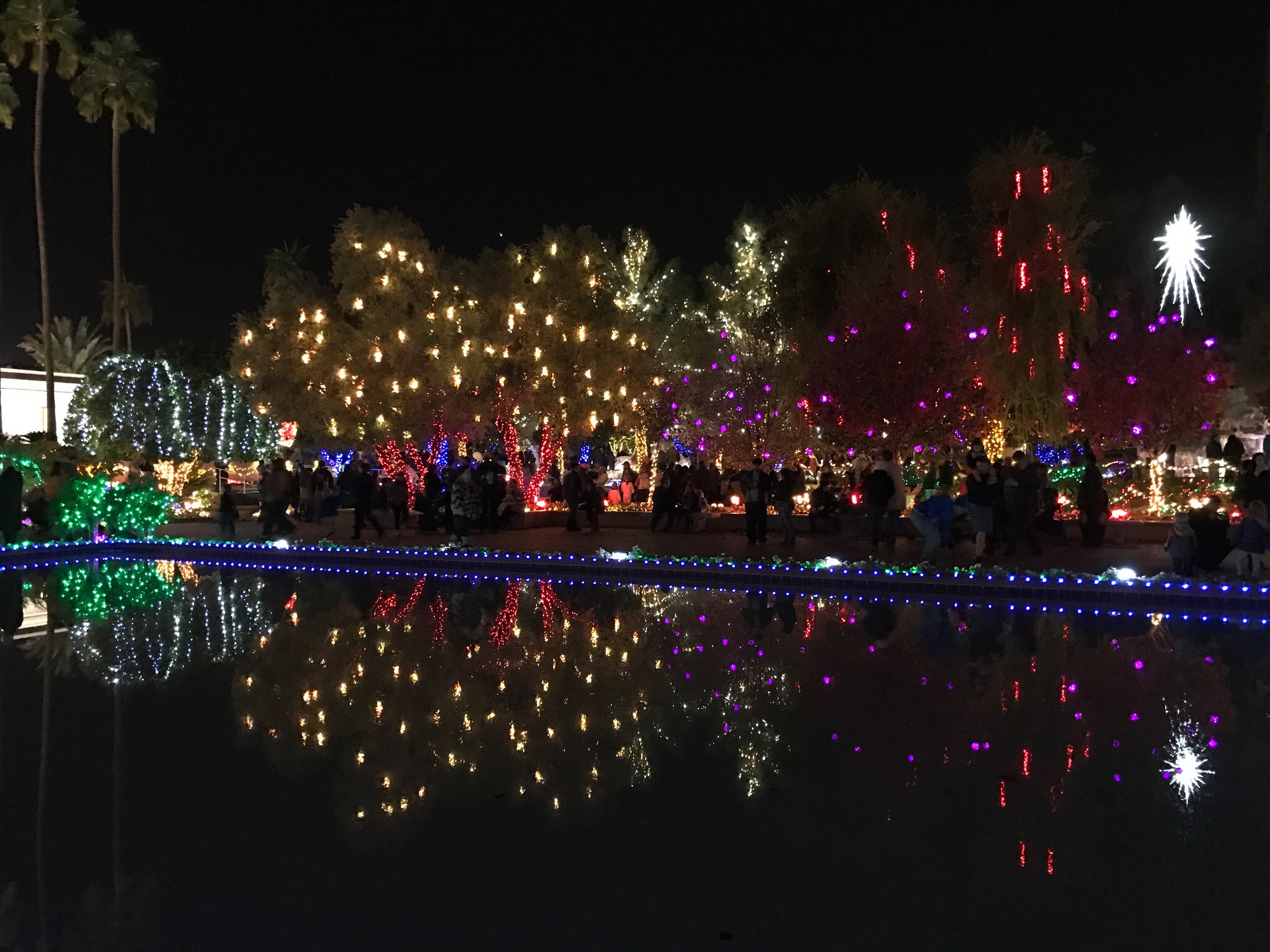
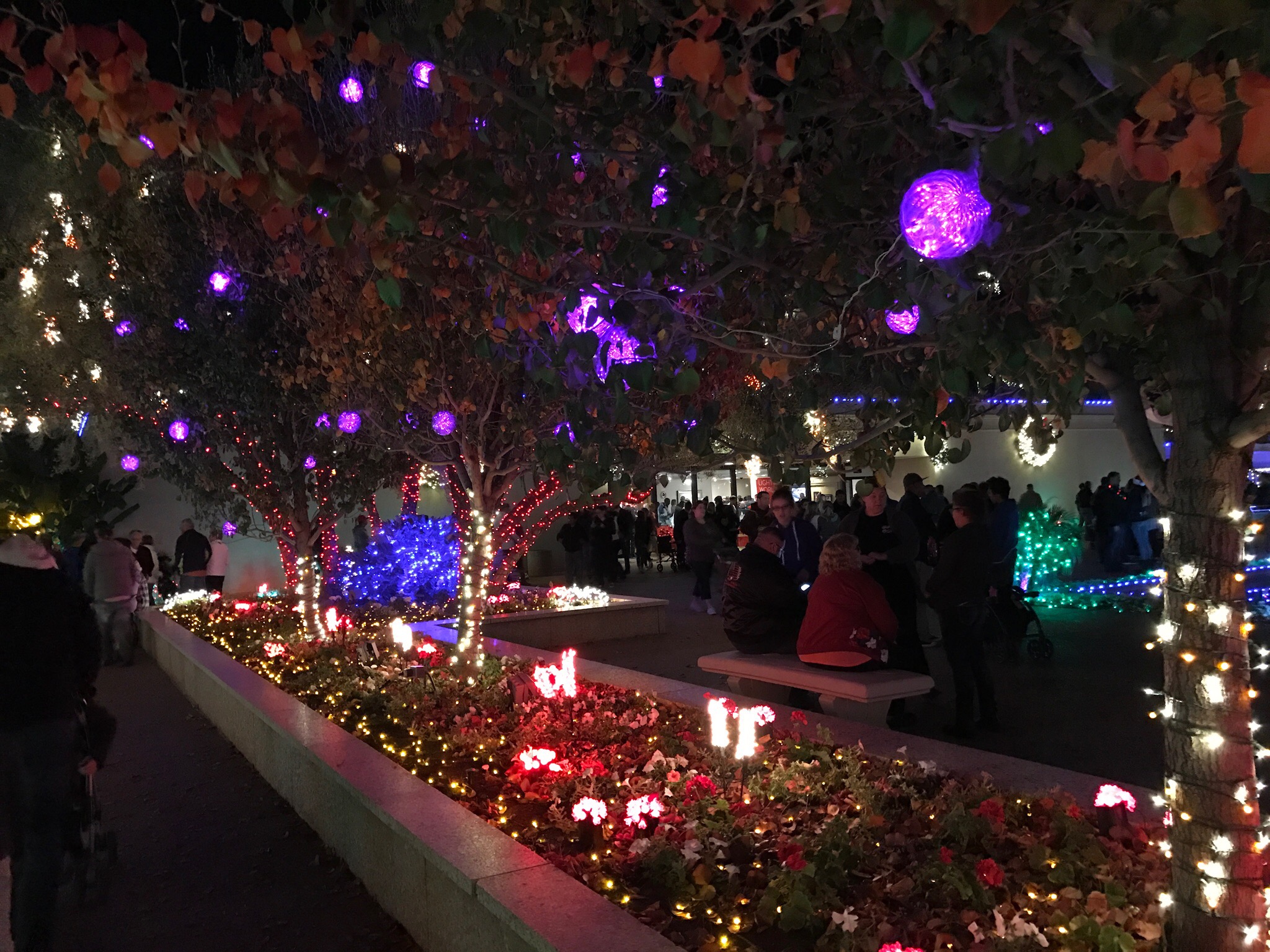
I’ll admit it: in many instances, a drone can get a better shot. A perfect example is a dawn photo shoot I did with a good client about two years ago. They’d staged the Wenatchee Symphony Orchestra at a local park, Ohme Gardens, and wanted sweeping aerial images of them playing. On our first pass, our downwash blew away their sheet music. (Oops.) We eventually got the shots they wanted, but I recall saying to my client, “You should have used a drone for this one.”

Here’s a still image from one of the aerial sequences we did that morning. Watch the whole video here; all the aerial shots were done from my helicopter.
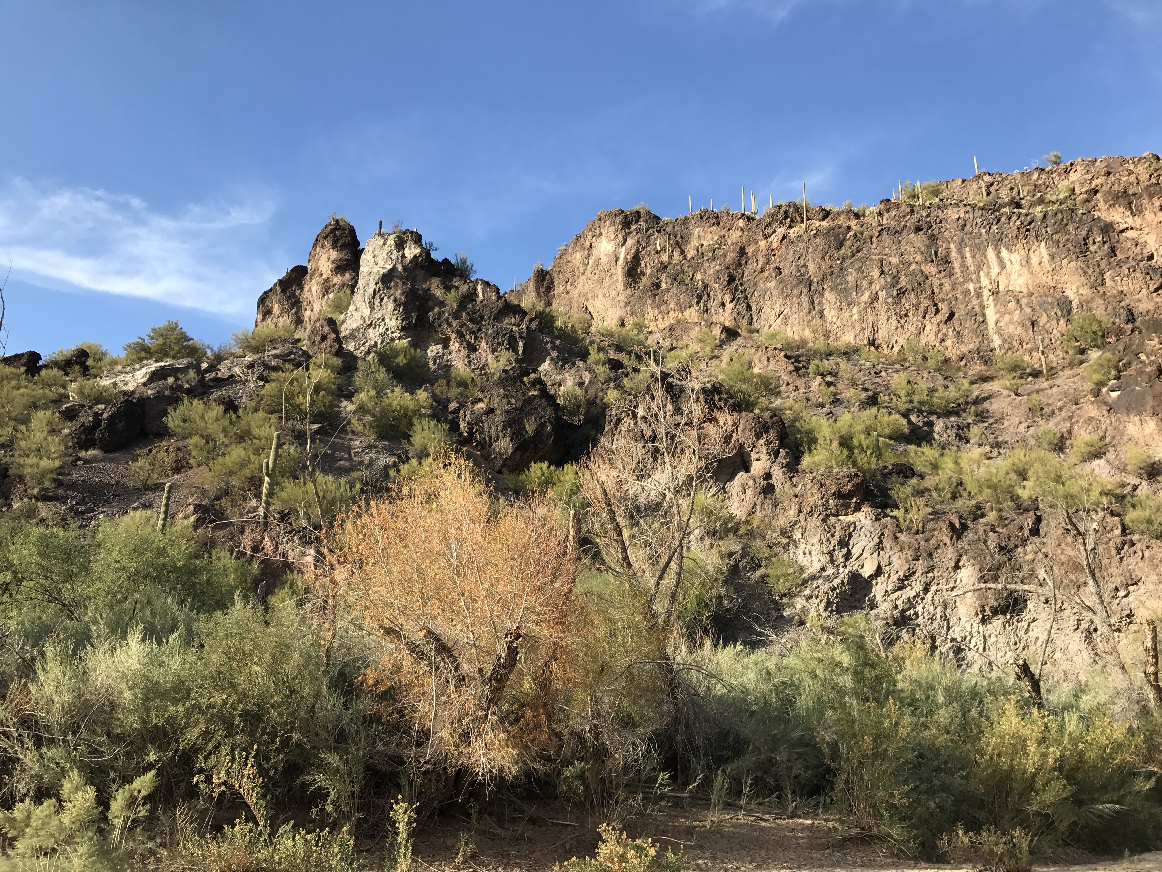
But another client needed aerial video and still images all along the Columbia River from Wenatchee to Chelan, then up the Wenatchee River to Leavenworth and up Lake Chelan to Stehekin. This was well over a hundred miles to cover and some of it was inaccessible by car. We got all of the shots in less than three hours of flight time. It would have taken weeks to get that footage with a drone — and even then, some of it would have been impossible to get.
And a four-hour shoot from Seattle to Mount Rainier along often remote areas of the Green River? I can’t even imagine doing that with a drone.
But not everyone sees that. So I see drones threatening part of my livelihood.
Flying Cameras
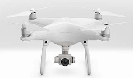
My generally poor opinion of drones was significantly changed this past week. What changed it? Getting my hands on a Phantom 4 and seeing the quality of the photos and videos
My friend Jim — a gadget guy if there ever was one — has one of these drones. He started off by showing me some of the video he’d shot on an RV vacation in the southwest with his wife last summer. I was immediately struck by how rock-solid and clear the images were. I’ve created footage with a GoPro mounted in various places on my helicopter and have seen footage created with high-quality professional video cameras from my helicopter both with and without gyro-stabilized mounts — Jim’s footage was as good as or better than any of that.
From a flying camera that costs less than $1,000. To put things in perspective, that’s less than my Nikon DSLR, which doesn’t fly.
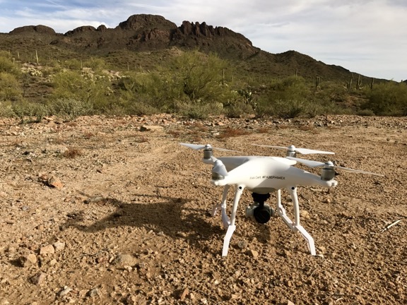
Then Jim and I took the drone out for a few flights. It was remarkably easy to fly, even if you choose to do so manually. The controller has two sticks that were immediately familiar to me as a helicopter pilot. The left stick handles ascent/descent (like a helicopter’s collective) and yaw (like a helicopter’s anti torque pedals) while the right stick handles direction of flight (like a helicopter’s cyclic). The drone is amazingly responsive, but what really blows me away is that releasing the controls brings the drone to a controlled hover at its current altitude. And if that isn’t enough, several program modes and tools make it possible to program a flight. The damn thing can literally fly itself.

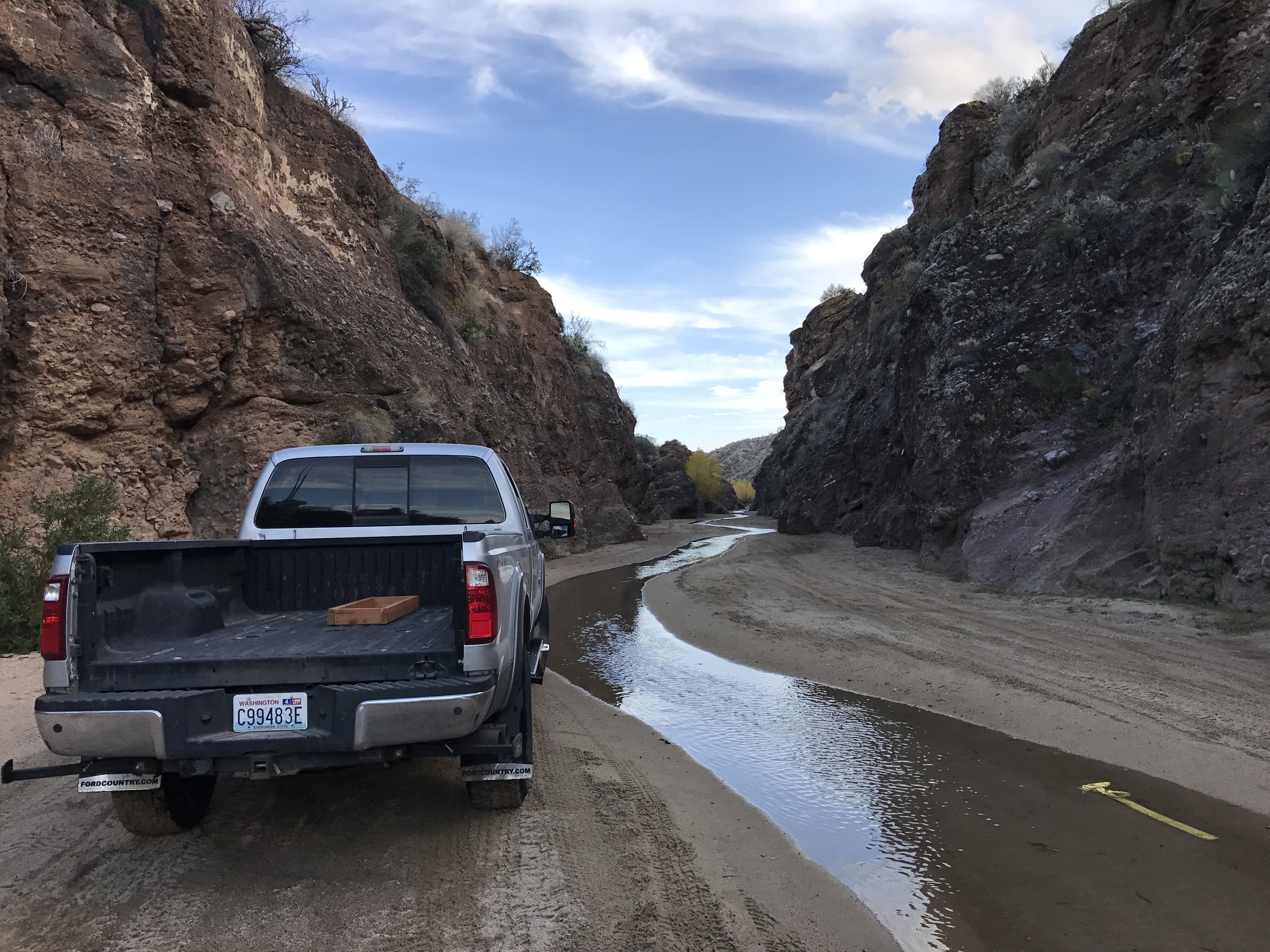
Jim’s Phantom 4, awaiting takeoff near Vulture Peak in Wickenburg, AZ. I got a chance to experiment with both manual and automatic flying modes.
I could go on and on about the Phantom 4’s feature set — which I understand is shared by many competing products these days — but I won’t. I’ll let you explore them for yourself. There’s plenty of information online.
I will say this, however: As someone who has been involved in tech for a long time — hell, I wrote books about computers for 22 years starting way back in 1990 — I’m not easily impressed. The Phantom 4 completely blew me away.
Me? A Drone Pilot?

Want to become a commercial drone pilot? Start by learning all about the FAA’s Part 107. This book will help. Buy the ebook edition on Amazon or from Apple. Or buy the paperback edition on Amazon.
Jim, in the meantime, is looking to upgrade and offered me a sweet deal on his Phantom 4 with lots of accessories. That got me excited about owning one of these flying cameras. So excited that I watched all of the Phantom 4 tutorials on DJI’s website, worked through the FAA’s UAS pilot online training, and took (and passed) the FAA’s Part 107 pilot test. All I need is a meeting with the FAA and a sign off to become a certificated UAS pilot.
What does that mean? I’ll be legal to conduct commercial UAS flights. That means I can create (and sell) some of the photos and images I collect with a flying camera like the Phantom.
But I have other ideas for how I can make drone photography part of my professional life. Stay tuned; I’ll be sharing more on this topic in the months to come.
After all, if you can’t beat them, join them.