Hiking to the top of Quartzsite.

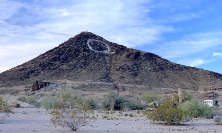
Q Mountain, as seen from a point on our daily hike.
Janet and I did 2-1/2+ mile hikes almost every morning we were in Quartzsite. Our route took us past the foot of Q Mountain, a hill/butte in the southwest corner of town that was the highest point in the area. It looked pretty steep from the ground, but when the two of us finally got around to climbing it, we discovered that it really wasn’t so bad. Here are some of the views.

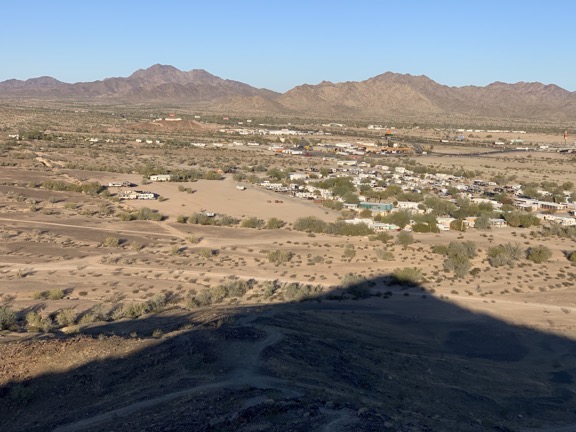
Looking to the northwest, you can see the shadow of Q Mountain, an RV park, a truck stop, and the I-10 freeway interchange.

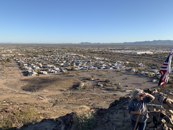
Here’s the view to the north. That’s Janet in the corner of the shot. Someone put an MIA flag on the same pole as an American flag up there and it bugged me. The American flag should always hang higher in the US, no?

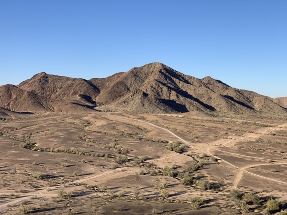
Here’s the view to the southwest. This area is heaven for anyone who likes to follow dirt tracks through the desert (and doesn’t mind the ever-present dust).
Discover more from An Eclectic Mind
Subscribe to get the latest posts sent to your email.
